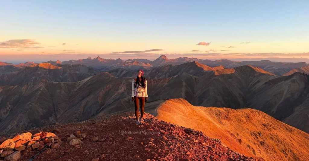


Redcloud Peak is a 14,034-foot San Juan giant near Lake City, Colorado. Its neighbor, Sunshine Peak (14,001 feet), is usually climbed on the same trip—and once you’ve made the long drive to the trailhead, it’s tempting to go for both.
I hiked Redcloud and Sunshine for sunrise. The climb is Class 2, with a clear trail for much of the way, but don’t mistake that for an easy day if you’re not used to elevation. My GPS track recorded about 11.85 miles round trip and 4,694 feet of elevation gain for both summits, or 3,620 ft and 9 miles for just Redcloud Peak. You’ll descend from Redcloud to the saddle and climb back over it on the return. I found the class 2 section to the summit of Redcloud Peak steeper with loose little rocks on a firm dirt surface than the trail below, and the exposure along the edge of the ridge caught my attention even though I’m comfortable on harder routes.
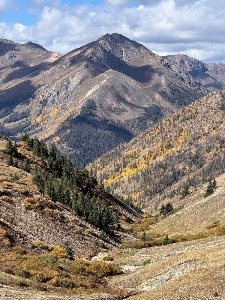
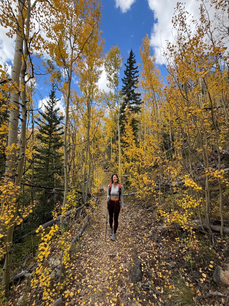
If you’re planning a fall hike, the aspen-lined drive along Cinnamon Pass Road can be part of the experience. Here’s what to know about the trailhead, route, sunrise timing, and hiking both peaks in one day.
Quick Stats: Redcloud Peak and Sunshine Peak
| Redcloud Peak only | Redcloud + Sunshine | |
|---|---|---|
| Summit elevation | 14,034 ft | Sunshine: 14,001 ft |
| Trailhead | Silver Creek / Grizzly Gulch, about 10,400 ft | Same |
| Distance | 9 miles out and back | 11.8 miles out and back total |
| Elevation gain | 3,620 ft | 4,694 ft |
| Difficulty | Class 2 | Class 2 |
| Date I went | Sept 22, 2026 | same |
| Time | 3 hrs up; 2.5 hrs down | 8:10 hr (Many hikers take 8–10+ hours) |
| Location | Lake City, Colorado | Same |
These are the stats from my hike, based on my GPS track. Your recording may differ slightly depending on the device and the exact line you follow. For reference, route guides often list a different round-trip estimate; use current route resources for trip planning, and use my recorded stats here to understand what my day looked like. Allow extra time for breaks, photos, weather, and the second climb over Redcloud.
Where to start: Silver Creek / Grizzly Gulch Trailhead
The standard route to Redcloud Peak and Sunshine Peak starts at the Silver Creek / Grizzly Gulch Trailhead, about 20 miles from Lake City by road. The trailhead sits around 10,400 feet and has a large parking area. There are dispersed campsites near the creek across from the trailhead. Restroom facilities are listed at the trailhead, but they were closed when I visited, so don’t count on them being open.
From Lake City, head south through town and turn right onto Lake San Cristobal Road. Follow it past the lake and continue along the Lake Fork of the Gunnison. At the signed junction, take County Road 30 toward Cinnamon Pass and continue to the Silver Creek / Grizzly Gulch parking area. Road signs and mile markers can be easy to miss in the dark, so download directions or a map before leaving town.
The final stretch is an unpaved mountain road. My Bronco Sport Badlands made it without a problem, and I didn’t need high clearance, but conditions change with weather and maintenance. AWD or 4WD can be helpful. Check current road conditions before your trip, especially early or late in the season; Cinnamon Pass Road closes seasonally.
Why start at sunrise?
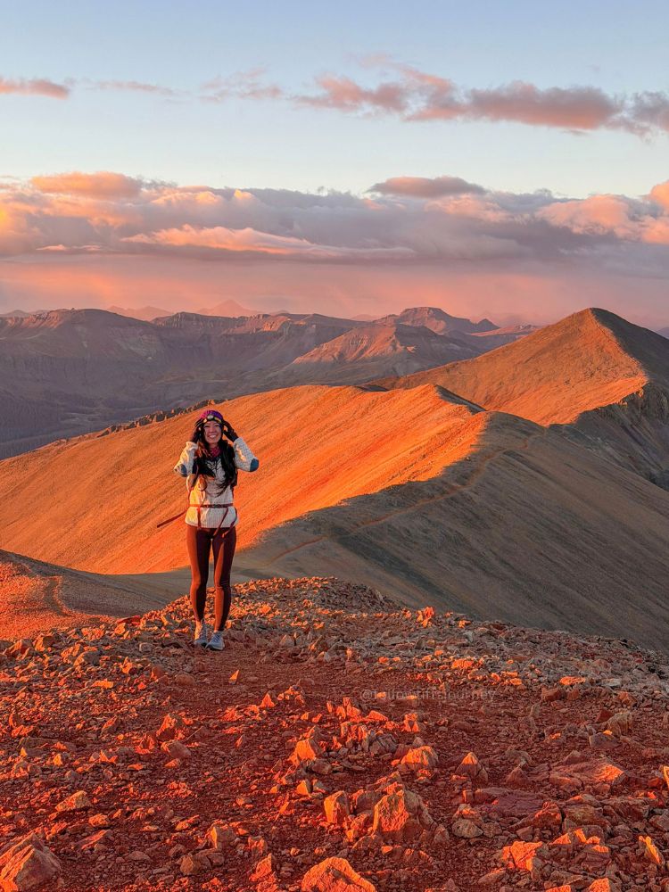
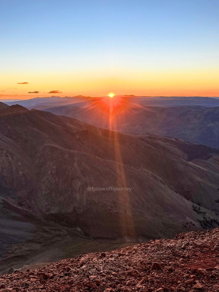
A sunrise start gave me the kind of light I’d been hoping for: first light from the ridge, then alpenglow on Redcloud Peak. I’d seen another hiker’s sunrise photo a year earlier and wanted to see the mountain glow for myself. We left the trailhead at 3:50 a.m. and reached Redcloud’s summit just before sunrise. If I did it again, I’d leave just 10 mins earlier.
The dark approach was straightforward with headlamps, but sunrise hiking makes an already long day longer. Bring a charged headlamp, spare power if yours uses it, warm layers, food, water, and an offline map. The summit and ridge are exposed, and weather can change quickly at this elevation.
An early start also helps you get off the high ridge before the typical afternoon thunderstorms, especially in July and August. Check the forecast for the mountain itself, not only Lake City, and be willing to turn around if storms build. A sunrise summit is never worth staying on an exposed ridge in dangerous weather.
The route: Redcloud Peak first, then Sunshine Peak
From the trailhead, follow the trail alongside Silver Creek as it climbs through forest and into open terrain. The lower trail is relatively mellow compared with what comes later. In the dark, it was easy to follow with a headlamp; in daylight, the creek and surrounding basin make this stretch especially scenic.
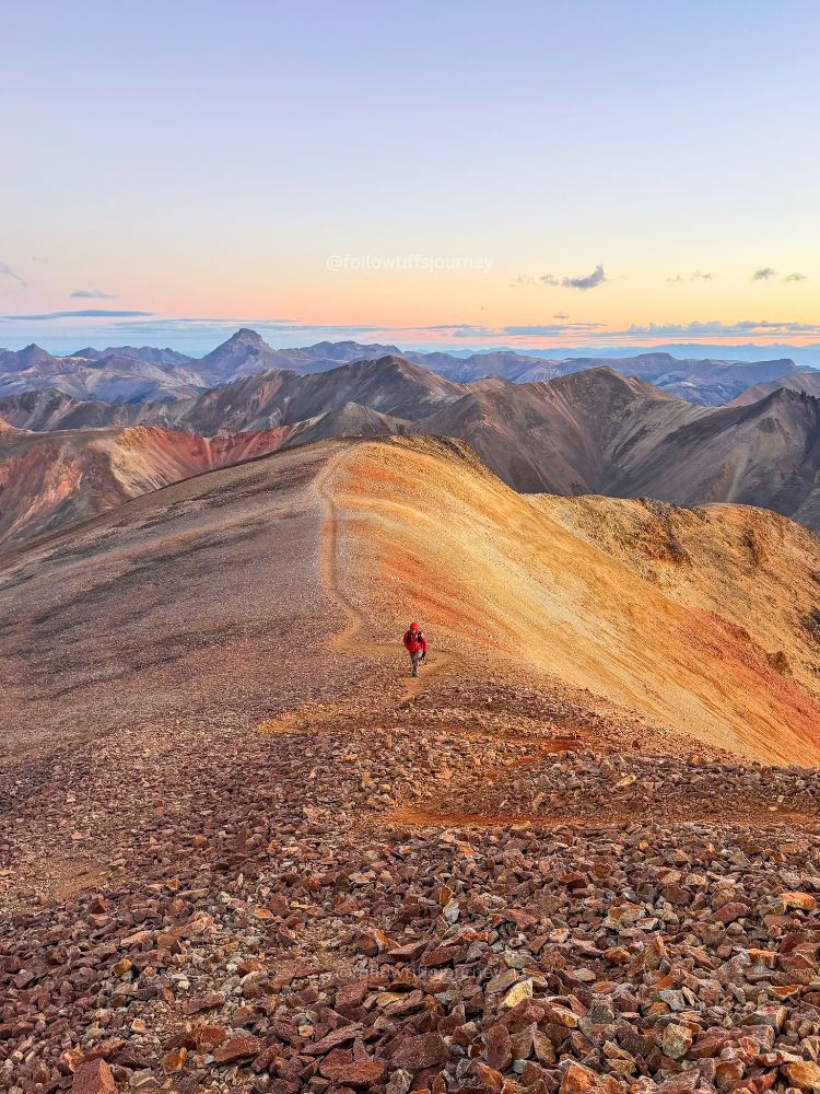
As you enter the upper basin, the trail climbs toward the saddle at about 13,000 feet. This is where the route changes character. Turn right at the saddle and follow the northeast ridge toward Redcloud. My GPS notes put the ridge at about 3.7 miles and 13,000 feet. The trail is rocky, with steep switchbacks and loose sections. I found the ridge more intimidating than I expected: I’m comfortable on Class 4 routes, but one narrow-feeling Class 2 stretch still brought on my fear of slipping. Take your time, watch your footing, and give other hikers room where the trail narrows.
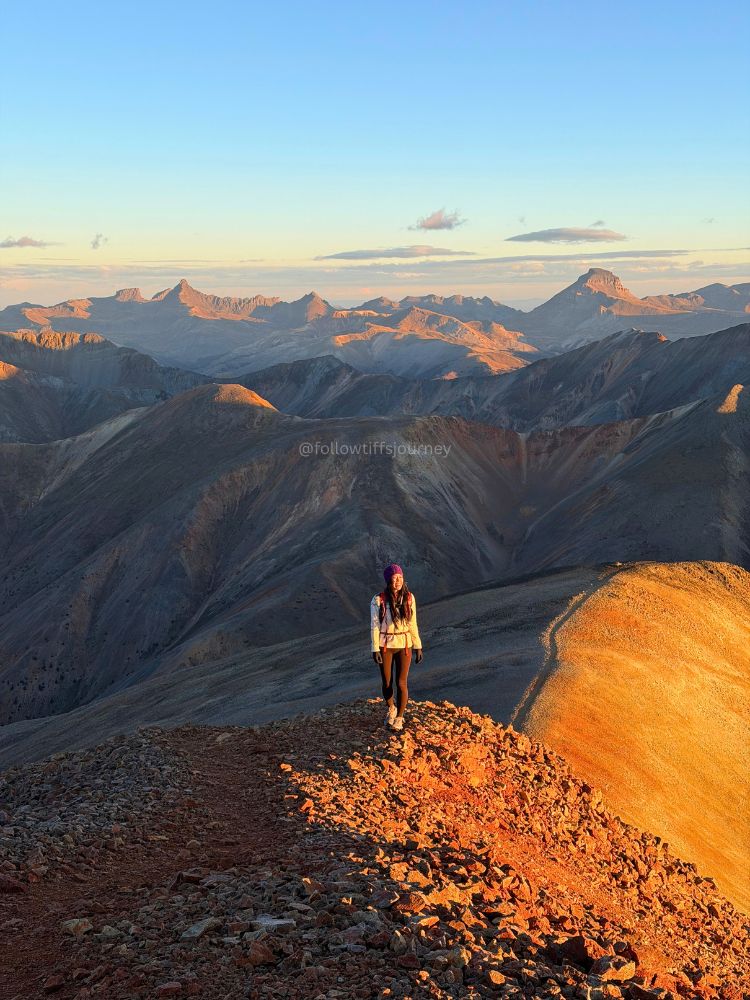
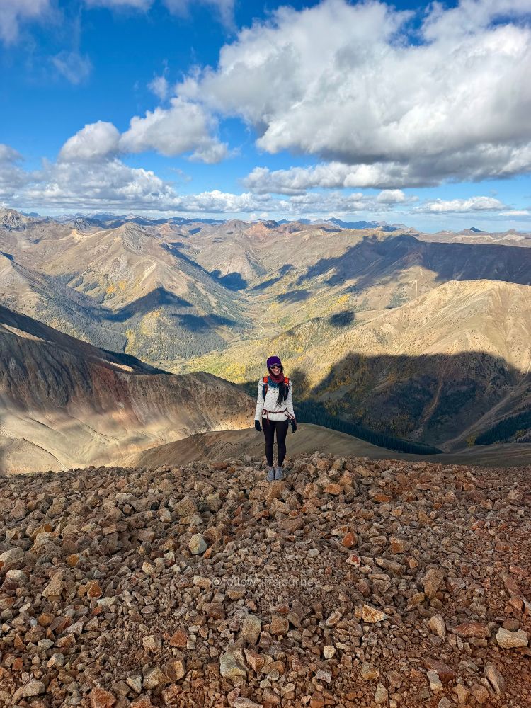
The grade eases in places before the final climb. You’ll pass a false summit before the true summit of Redcloud Peak. My track put the summit about 4.5 miles from the trailhead, with roughly 3,615 feet of gain. From the top, the views open across the San Juans, and on a clear morning the surrounding peaks catch the first light.
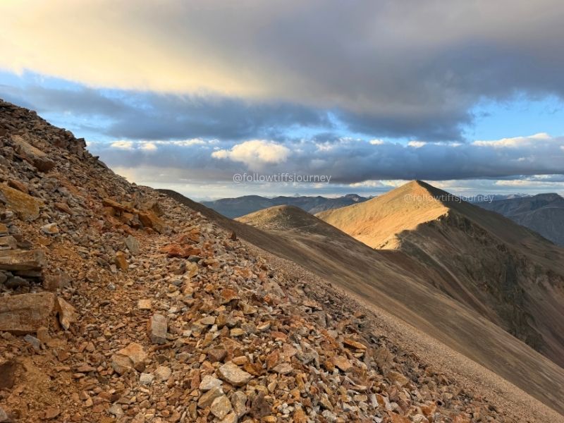
To continue to Sunshine Peak, descend Redcloud’s south ridge to the saddle. My notes put the low point at about 13,523 feet and Sunshine’s summit at 14,001 feet, about a mile from Redcloud. It’s still Class 2, with loose rock and sustained ups and downs. The second summit can feel like a bigger effort than the mileage suggests, especially after the climb up Redcloud.
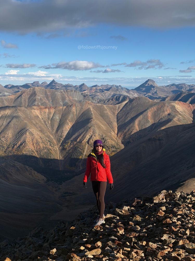
For the standard return, retrace the ridge to Redcloud, summit it again, and descend the route you came up. That second climb over Redcloud is part of what makes the combined hike a substantial day. Don’t take an appealing-looking shortcut off the saddle unless you’ve researched and are prepared for that route; steep, loose terrain can turn a shortcut into a serious problem.
What to bring
Conditions can shift from warm and sunny to cold and windy quickly above treeline. For my sunrise hike, I was glad to have layers; my feet got cold before the sun reached us.
- 20L day pack with convenient phone access
- Ultralight rechargeable headlamp 400 lumens
- Merino wool leggings (15% off your first order)
- Merino wool bralette
- Merino wool socks
- Trail runners (or hiking boots if you prefer extra support) — my feet did get cold at the top before the sun hit
- Knitted wool sweater (typically I have a different midlayer but I was feeling the cozy vibes
- Down jacket
- Windbreaker or hardshell
Frequently asked questions
Can you hike Redcloud Peak without hiking Sunshine Peak?
Yes. Redcloud is a shorter out-and-back from the Silver Creek / Grizzly Gulch Trailhead, commonly listed at about 9 miles round trip with roughly 3,700 feet of gain. You can turn around at Redcloud’s summit instead of continuing across the ridge to Sunshine.
How hard is the Redcloud and Sunshine Peak hike?
Both standard routes are Class 2. The trail is generally easy to follow, but the combined hike is long and gains nearly 5,000 feet. Expect rocky, loose footing and exposed ridge travel, and remember that you climb back over Redcloud on the return. Class 2 describes the scrambling level; it doesn’t mean the hike is easy or low-risk.
How long does it take to hike Redcloud and Sunshine?
Plan for a full day. Many hikers report around 8–10 hours for both peaks, but your pace, acclimatization, trail conditions, stops, and sunrise plans can add time. My early start left room to enjoy the light and take photos.
When is the best time to hike Redcloud Peak?
Most hikers go during the snow-free summer and early fall season, when the access road is open and the route is more straightforward. Afternoon thunderstorms are common in summer, so start early and check the forecast. Fall brings changing aspens along the drive, but colder temperatures, snow, and seasonal road closures can arrive quickly. Check current conditions before heading out.
Is the road to the Redcloud Peak trailhead hard to drive?
The Silver Creek / Grizzly Gulch Trailhead is reached by an unpaved section of County Road 30 / Cinnamon Pass Road. I drove it in a Bronco Sport Badlands without trouble, but road conditions vary. Check current local conditions, drive slowly, and don’t assume the road will be suitable for every vehicle after rain or snow.
More San Juan Mountains hikes
If you’re exploring the Lake City and San Juan area, check out my San Juan Mountain trail guides here.
More Colorado 14er hikes you might like
Booking travel soon?
Please consider using my affiliate links below. It costs nothing additional for you but helps me maintain the ever-increasing costs of running a travel blog:
General travel through Tripadvisor here.
Book your flights here.
Book your accommodations here on Expedia, Booking.com, Hotels.com, and VRBO.
Book your car rentals here.
Book your tours here.
Book your travel insurance here.
Shop my favorite gear here.


Tiff, the owner and author of Follow Tiff’s Journey, is a California/ Colorado-based adventurer and outdoor connoisseur who divides her heart between the Eastern Sierra Mountains and the Colorado Rocky Mountains. Despite her fear of heights, she’s become a seasoned mountaineer, ultralight hiking and backcountry camping enthusiast, expert road trip planner, and a fervent explorer of alpine lakes, natural hot springs, and sandstone canyons.
With 10 years of experience exploring the outdoors, her blog is your go-to source for all things wilderness, offering invaluable insights and pro tips, essential gear recommendations, and awe-inspiring stories from her adventures.
Join Tiff on her quest to share the wonders of nature and inspire others to follow their own path in the great outdoors.