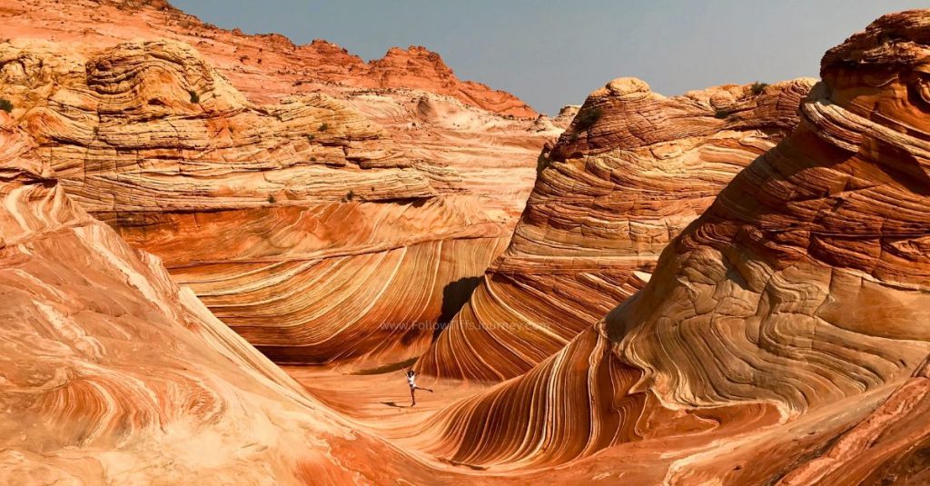


The Wave had been on my hiking bucket list for years before I finally won a permit.
After seeing countless photos online, I thought I knew exactly what to expect. I was wrong.
The famous sandstone waves are incredible but there isn’t a marked trail, cell service is nonexistent, and getting a permit requires luck and planning well before your trip.
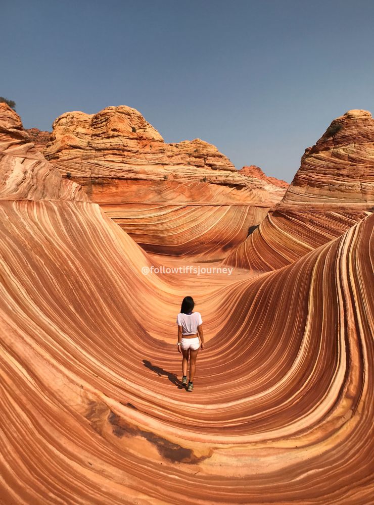
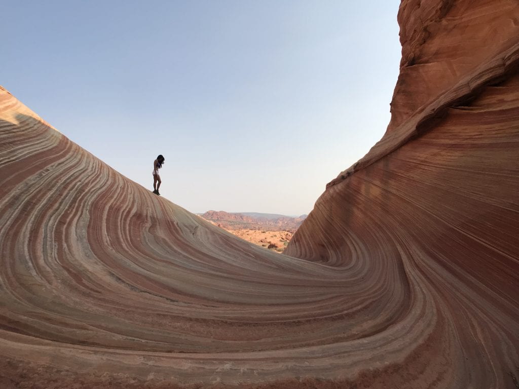
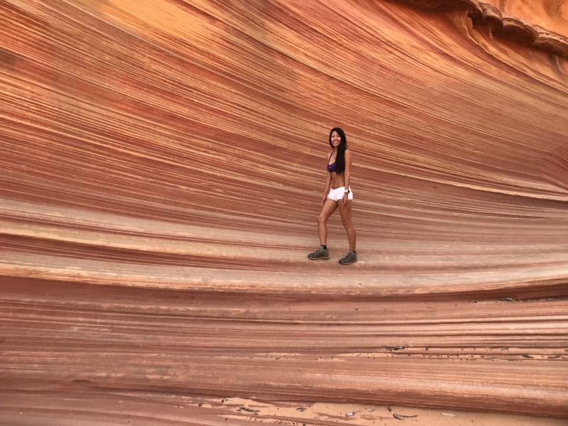
After 14 months of applying for a permit— one lottery entry per month for over a year — I finally won a permit for July 31. Yup, that’s quite possibly the hottest day of the year to do an exposed desert hike but I’ve tried for so long and was prepared for it. I drove out from LA in one long day, hiked it in the Arizona summer heat the next morning, and came back the same day with what became one of my most viral photos to date.
If you’re hoping to hike The Wave in Arizona, this guide walks you through everything I wish I’d known before going—from improving your permit odds to navigating the route safely and deciding whether the hike is worth the effort.
Why trust this guide?
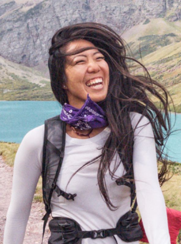
Hi, I’m Tiffany — owner of Follow Tiff’s Journey and a Colorado/California-based alpinist, backpacker, and desert hiker with 10+ years of experience across the American Southwest. I hiked The Wave after winning a permit through the lottery and photographed it myself — including the shot that became one of my most-shared landscape images online. I’ve been writing about Arizona, Utah, California, and Colorado trails for over a decade. This guide reflects the current 2026 permit process and is updated regularly. Real tips. No fluff.
If you’re planning to hike The Wave:
The Wave Permits: Your 2026 Complete Guide
2026 UPDATE: The daily maximum is now 64 people per day — 48 through the advanced lottery and 16 through the daily lottery. This is double what it was when I first visited. Your odds are better than they used to be, but it’s still extremely competitive.
Here’s the thing nobody tells you upfront: you cannot just show up to The Wave. Rangers actively check permits at the trailhead and in the parking lot. When I was there, a ranger was stationed at the lot on my way back, asking every group how many hikers were still out, what their conditions looked like, and confirming we all had permits. This isn’t optional.
There are two and only two ways to get a permit:
Advanced Lottery (4 Months Out)
This is the most reliable path if you can plan ahead.
How it works:
- Apply at Recreation.gov — you can select up to 3 dates in one application
- You’re applying for a date four months in the future
- Example: apply in March → you’re entering for July dates
- The lottery runs on the first of each month at 9:00 AM
- Results are emailed immediately after the drawing
- Winners must confirm by the 15th of the month or forfeit the permit
Cost: $6 non-refundable application fee. If you win: $7 per person and per dog on top of that.
How to pick your date: When you submit your application, Recreation.gov shows you how many people have already applied for each date. Weekdays consistently have fewer applicants than weekends. I’d skip Friday/Saturday/Sunday entirely if your schedule allows any flexibility.
My experience: I applied in March with a July 31 date (a Tuesday). After 14 months of trying — one application per month — I finally got the email. The $6 application fees I’d spent over 14 months came out to $84 total. Worth it? Absolutely.
→ Click here to apply for the Advanced Lottery

Daily Lottery (2 Days Out) Onsite
This option is for people who are already in the area and want to try their luck on a shorter timeline.
How it works:
- Apply 2 days before your desired hike date (Day 1)
- Application window: 6:00 AM – 6:00 PM (Utah/Navajo Nation time)
- Results emailed at approximately 7:15 PM that evening
- If you win: accept and pay by 8:00 AM the next morning (Day 2)
- Pick up permit and attend safety briefing at 8:30 AM at one of two locations (Day 2)
- Day 3: Hike The Wave!
Locations for permit pickup:
- Kanab Center, 20 N 100 E, Kanab, UT 84741
- Page-Lake Powell HUB, 48 S Lake Powell Blvd, Page, AZ 86040
Requirements:
- You MUST apply via mobile device (phone or tablet) — desktop computers won’t work
- You MUST be physically within the geofenced area to apply (roughly 40 miles of the trailhead)
- Geofenced towns in Arizona include: Page, Greenhaven, Marble Canyon, Vermilion Cliffs, Jacob Lake, Fredonia, Moccasin
- Geofenced towns in Utah include: Kanab, Big Water, Paria, Orderville, Glendale, East Zion
Cost: $9 application fee (non-refundable) + $7 per person if you win.
Pro tip: Have the Recreation.gov app installed and updated before you get to the area — outdated app versions have caused payment issues for people who won.
→ Click here to apply for the Daily Lottery

Honest Tips to Improve Your Odds
I spent 14 months learning this the hard way so you don’t have to:
For the advanced lottery:
- Apply every single month — you can enter once per person per month
- Have everyone in your group submit their own application — each is an independent entry
- Target weekdays, especially Tuesday, Wednesday, and Thursday — significantly fewer applicants
- January and February have the highest odds; April through October are the most competitive but summer months are scorching hot so plan for early starts or evening.
- Apply for just 1-2 people if your dates are flexible — smaller groups have statistically similar odds and it simplifies logistics
For the daily lottery:
- You’re competing for 16 spots, not 48 — but you’re also competing against fewer people since you have to physically be in the area
- Apply the moment the 6 AM window opens
- Have your group all apply individually if you’re together in the geofence area
The honest reality: There’s no hack that guarantees a permit. I tried 14 times consecutively. Your best approach is to apply consistently every month for future dates, and if you find yourself near Kanab or Page anyway, try the daily lottery as a bonus shot. I actually won the daily lotto on NYE one year but the road was too muddy/ impassible to risk going.

Getting to The Wave: Driving Directions
The Wave is located at the end of an 8.3-mile unpaved dirt road called House Rock Valley Road, off Highway 89 on the Arizona/Utah border. The trailhead is Wire Pass Trailhead.
From Kanab, UT (most common starting point): Head east on US-89 toward Page. The turnoff for House Rock Valley Road is between mile markers 25 and 26, approximately 38 miles east of Kanab. It’s easy to miss — slow down as you approach mile 25 and look for the turn on your right (heading toward Page). There’s minimal signage.
From Page, AZ: Head west on US-89 for approximately 35 miles. The turnoff is on your left between mile markers 25 and 26.
The dirt road: It’s 8.3 miles from the highway to Wire Pass Trailhead. In dry conditions, the road is passable in most vehicles — when I visited in July, we made it in an AWD Subaru without high clearance, going slowly. However, after any rain or snow, this road can become dangerously muddy and impassable even in 4WD. Check road conditions before you go, and if there’s any doubt, don’t attempt it.
Parking: Large parking lot at Wire Pass Trailhead with pit toilets. No water.
Note on vehicle: High clearance is always recommended. AWD/4WD is strongly preferred, especially outside of summer dry months.
The Wire Pass Trailhead is in Utah. The Wave itself is in Arizona. More on this below.

Is The Wave in Arizona or Utah?
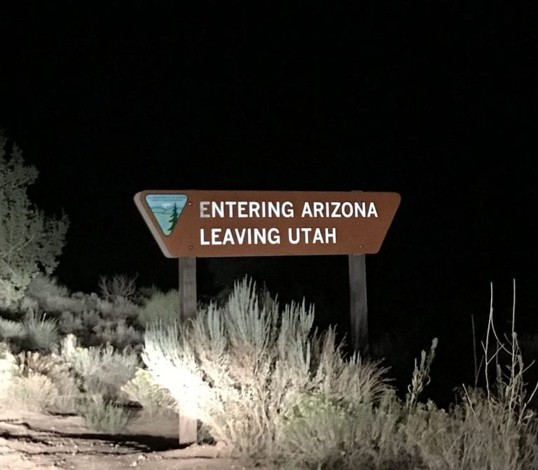
Both, kind of. The Wire Pass Trailhead where you start hiking is in Utah. Most of the hike is in Utah. You cross state-lines into Arizona at approximately mile 2.1 of the hike — that’s where The Wave formation is located. Pretty neat, it’s a hike in two states!
This also creates a fun timezone quirk: if you visit during summer when most of Arizona does not observe Daylight Saving Time, your phone will jump back an hour once you’re standing at The Wave. Don’t panic. You’re just stepping into a different timezone mid-hike.
Trail Navigation: Turn-by-Turn from Wire Pass Trailhead
This is the section most guides gloss over, and it’s the most important part of this entire page. There is no marked trail to The Wave. When the BLM says this, they mean it. People get lost here every season. A tourist died from heat exposure the night before I hiked it in 2018.
When you pick up your permit (either by mail for advanced lottery, or in-person for daily lottery), you’ll receive a BLM route guide with photos of landmarks and GPS coordinates. Bring this with you — it’s your most reliable navigation tool. I’d also strongly recommend downloading an offline map or having a satellite GPS device as backup since cell service is essentially nonexistent on the trail.
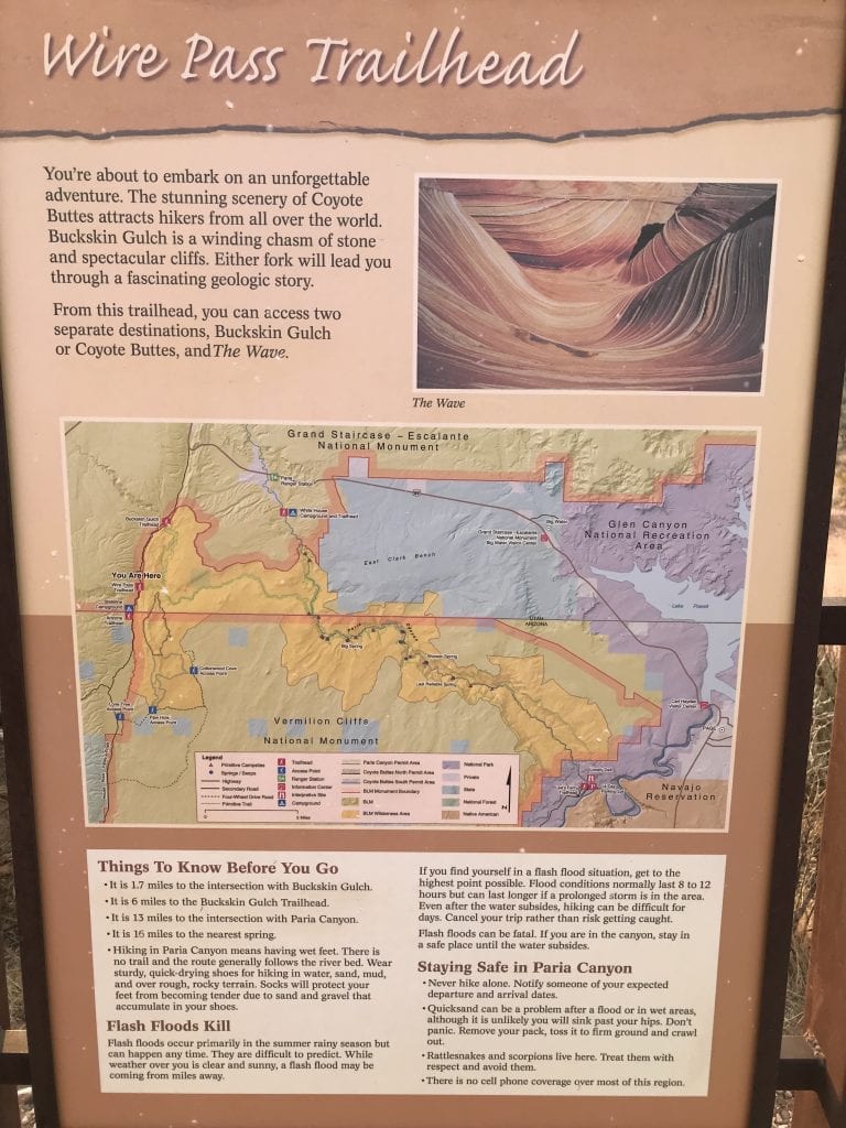
Here’s a general orientation to help you understand what you’re looking at:
Step 1: Cross House Rock Valley Road from the parking lot and head north. You’ll drop into a river wash almost immediately.
Step 2: Follow the wash for approximately 0.5 miles. There are usually footprints in the sand — follow them. You want to stay in the main wash.
Step 3: Look for the split to the right, heading uphill. This is easy to miss. Watch for it around 0.5 miles into the wash. You’ll go uphill through sandy terrain.
Step 4: Follow the sandy path toward the ridge. Aim for the notch (gap) in the ridge line ahead of you. This section is relatively easy to navigate.
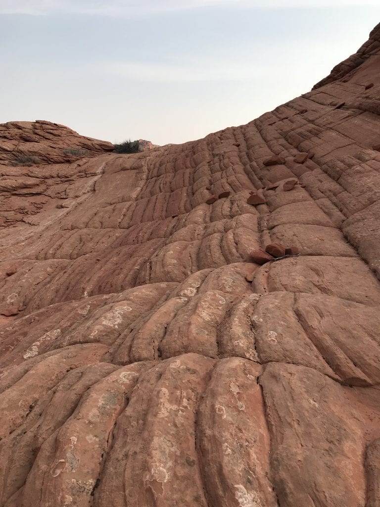
Step 5: At the notch, bear right. The next section crosses exposed sandstone where footprints disappear. This is where navigation gets harder — use your BLM map photos to match landmarks.
Step 6: Navigate around “the boobs” (two rounded butte formations) — stay to the RIGHT. Several guides note that AllTrails takes some people left of these formations, which leads to a sheer drop. Stay right, skirting along the mountain base.
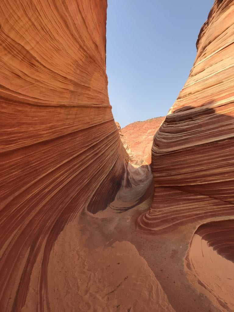
Step 7: You’ll hit ankle-deep sand leading to a vertical crack in the rock ahead. Locals call this “the ass crack” — hike through it and you’ve arrived at The Wave.
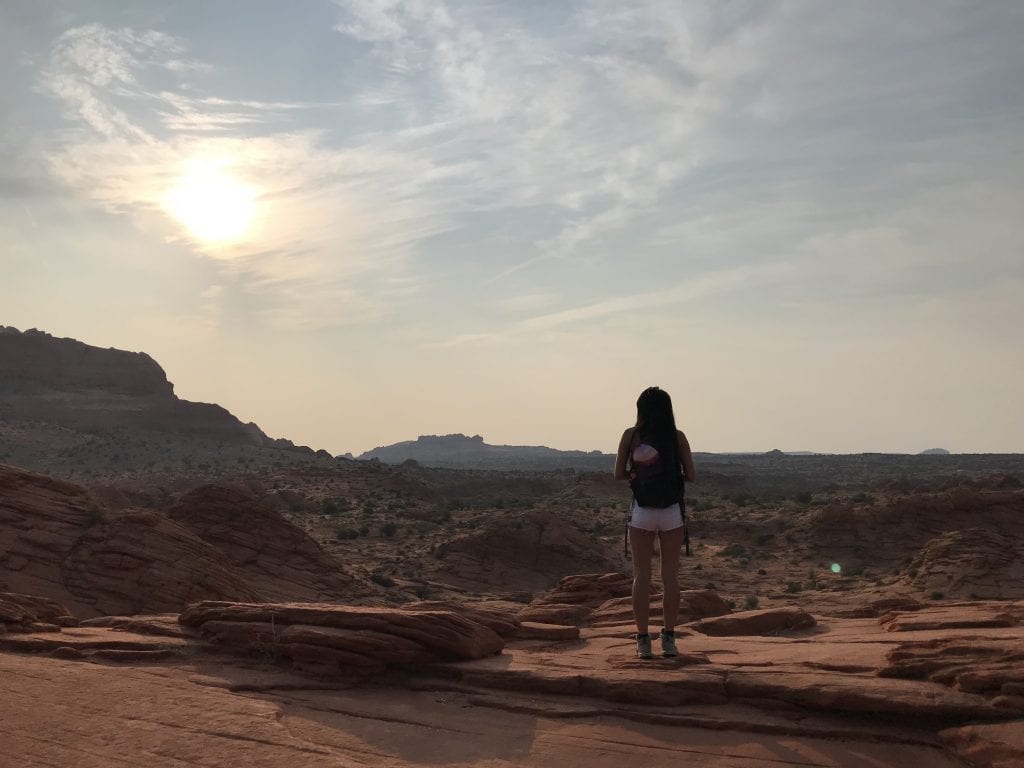
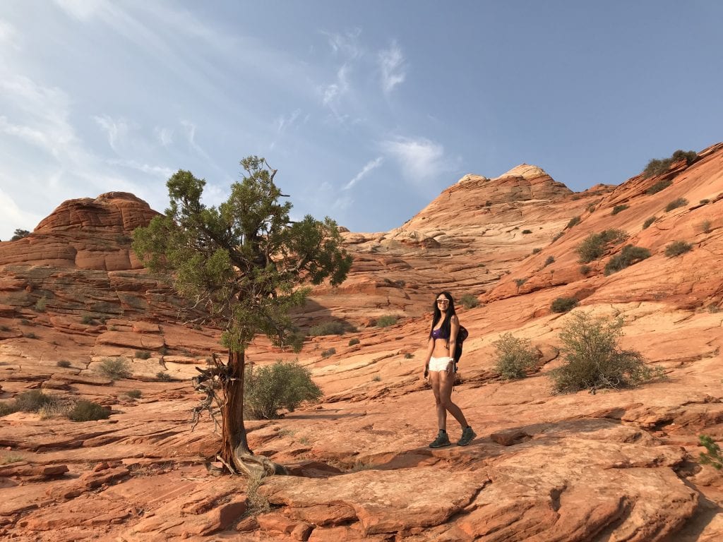
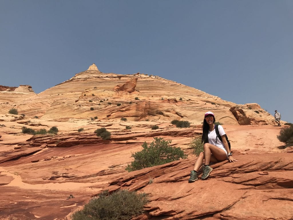
Time on trail: I started at 7:34 AM, reached The Wave at 8:54 AM (1 hr 20 min in), left at 9:46 AM, and finished back at the car by 11 AM. I was in no rush and had plenty of time to enjoy the landscape before the heat really hit — I had waited 14 months for this.
The hike back: This is where people get most turned around. The landmarks look different facing the other direction. Follow your BLM map outbound photos in reverse, or better yet, mark waypoints as you go out.


Best Time of Year to Visit The Wave
Spring (March–May) and Fall (September–November) are the best conditions for hiking — mild temperatures, good light, and manageable weather. They’re also the most competitive months for permits. Plan and apply accordingly.
Summer (June–August): Doable but genuinely dangerous if you’re not prepared. Temperatures routinely exceed 100°F with zero shade on the trail. A tourist died from heat exposure at The Wave the night before my July hike, which was a sobering reminder of what unprepared looks like in desert heat. If you go in summer: start well before dawn, plan to be done by noon, and carry more water than you think you need.
Winter (December–February): Beautiful if you get it — dramatic light, fewer competitors for permits, sometimes snow on the red rocks. The catch: the road in can become completely impassable in a 4WD after snow or rain. Temps at night can drop below 20°F. Go prepared.
Best time of day for photography: Midday (when the sun is overhead and shadows are minimal) is technically ideal for the Wave’s colors. In summer this is also the worst timing though. Spring and fall give you more flexibility — aim for mid-morning.

What to Pack
No water, no shade, no marked trail, no cell service. Pack like you’re going somewhere genuinely remote — because you are. It may be a short hike but it’s also a high-consequence hike if you aren’t prepared.
Non-negotiables:
- Water: Minimum 1 gallon (4 liters) per person. The BLM recommends this and I’d go at least 3 liters in cool weather, a full gallon or more in summer. There is zero water on route.
- Your BLM permit and route guide — rangers check for it, and the guide helps you navigate
- Navigation: downloaded offline maps, plus your BLM map. A Garmin inReach or similar satellite communicator is highly recommended — if you get hurt or lost, cell service won’t save you
- Sun protection: Hat with brim, sunglasses, sunscreen. The exposure is relentless.
- Snacks/food: High-protein snacks, electrolytes. Salt is especially important in the heat — it helps you retain water.
- Sturdy hiking shoes or boots: Ideally with good grip on sandstone. Avoid bare rubber soles. Merrell Moab 2 are a good lightweight boot.
- Layers in winter/shoulder season: Starts cold at the trailhead, warms up fast on the trail
Good to have:
- Trekking poles (with rubber tips so you don’t scratch the sandstone)
- A portable battery pack for your phone—I really like this carbon fiber battery, enough for 1 full charge and negates cords
- Camera with wide angle lens — you’ll want it
Leave at home:
- Drones (prohibited)
- Campfire equipment (prohibited — day use only)
- Expectations of shade
Heat and Safety Warnings
I’ll be direct with you: people die here.
The night before I hiked The Wave on July 31, 2018, there were two ranger vehicles at the parking lot. A European tourist had been found dead that evening from heat-related causes. It was the first death since a trio of deaths in July 2013 — which is apparently when the BLM started providing more detailed safety maps with permits.
The desert does not care how experienced you are if you under-prepare for water, heat, or navigation. Here’s what to take seriously:
- Start early in summer. I started at 7:34 AM in July and was already back at the car by 11 before peak heat. If anything, I’d go earlier.
- Bring more water than you think. My Garmin Fenix recorded 79°F at start, 88°F at The Wave, and 97°F by the time I got back to the car. That escalation is fast.
- Know your bail-out plan. If someone in your group is struggling, turn around early. The formation will be there another day. You only get one life.
- Tell someone your plans. Leave your itinerary, permit date, and expected return time with someone who will check in.
- Flash flood risk in summer monsoon season. The terrain funnels water. If there’s any weather in the area, be aware.
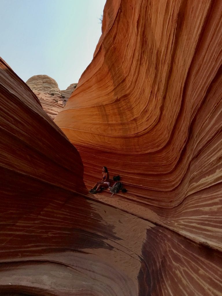
Photography Tips (From My Accidental Viral Shot)
Let me be honest — The Wave is one of those places where photos can’t fully capture what it’s like to stand in it. The scale, the texture, the depth of color. Cameras flatten it. That said, here’s what I’ve learned:
Best light at The Wave itself: Mid-morning to midday when the sun is overhead and shadows don’t fall across the troughs. Early morning and late afternoon create dramatic shadows that actually obscure the best parts of the formation. If I’m being completely, honest, I didn’t plan any of my shots or plan around the light at all—I just wanted to go see it and planned around weather.
Beyond The Wave: The other formations in Coyote Buttes North — Second Wave, The Alcove, Melody Arch, Sand Cove, Fatali’s Boneyard — photograph beautifully in mid-to-late afternoon when the angle light is golden. If you have the time and energy to explore beyond the main Wave after photographing it at midday, do it.
Composition: Use the natural U-shaped troughs to lead lines through the frame. Getting low (crouching or lying down) and shooting through the wave creates a sense of scale. A wide angle lens earns its place here — the Wave is wider than you’d expect.
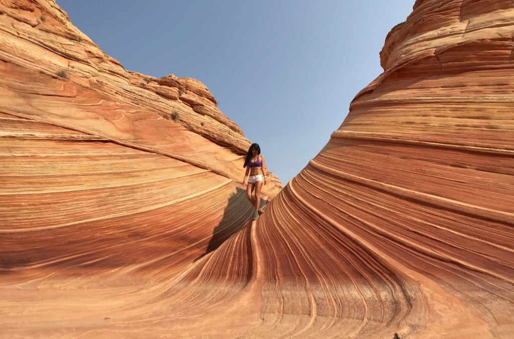
Gear I used: I shot my viral image just on the iphone 7. iPhone photography is stunning here in good light.
Include yourself in at least a few shots. Not only for the memories, but because scale photographs of the Wave with a human in them consistently outperform pure landscape shots on social media. It’s a silhouette situation that’s hard to mess up.
Other Rules You Need to Know
- No campfires
- Day use only — no overnight camping in the permit area
- No drones (and rangers look for them)
- Maximum group size: 6 people
- Permits are non-refundable and non-transferable
- Dogs allowed on leash ($7 per dog permit fee)
- Pack it in, pack it out — completely
- Walk carefully on the sandstone — the ridges and ribbing within The Wave are fragile. Stepping on them causes damage that can’t be undone
- Guided tours are available, but you still need to secure your own permit first. Authorized guides then don’t count against your group size limit
Alternative Hikes If You Don’t Get a Permit
Don’t let a failed lottery entry ruin your trip. If you’re already near Kanab or Page, these alternatives are genuinely worth your time:
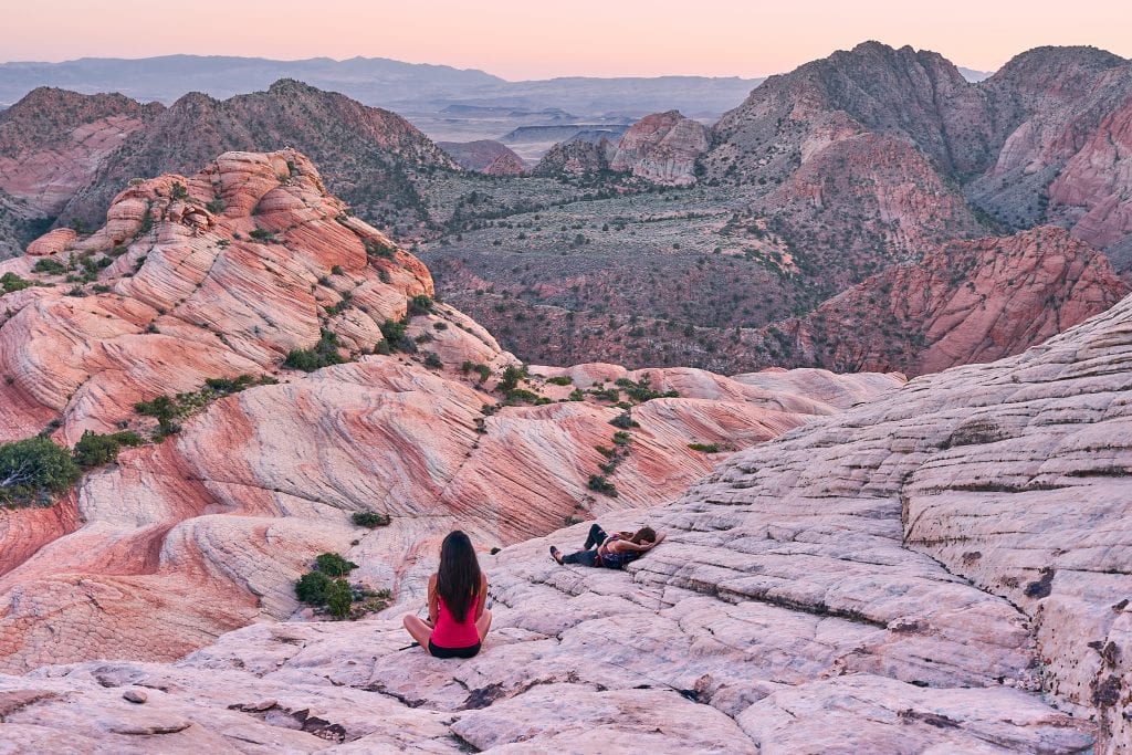
Yant Flat (St. George, Utah) — Free access, similar swirling sandstone candy-stripe landscape. One of the most underrated stops in Southern Utah and my top alternative recommendation.
Fire Wave in Valley of Fire State Park, Nevada — A short hike to a stunning red and white striped sandstone formation. Entrance fee required; permits not needed.
Coyote Buttes South — A separate permit area from The Wave, with similar geology and BLM oversight. Permits are typically easier to win than CBN. Apply at Recreation.gov.
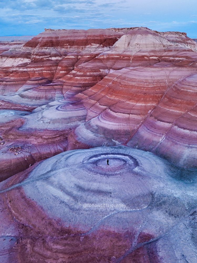
Bentonite Hills — Otherworldly swirly landscape located near Hanksville, Utah. Also very remote.
White Pocket — No permit required. Located about 45 minutes from Kanab on a dirt road (high clearance 4WD strongly recommended), White Pocket has dramatic swirling sandstone formations that rival The Wave in many ways. Significantly less known.


Nearby Camping and Hotels
Camping — Stateline Campground (BLM, free): Located 1.7 miles past the Wire Pass Trailhead at the Arizona/Utah border. 7 primitive sites with pit toilets and shaded picnic tables. No water. First-come, first-served. This is where I camped the night before my hike. Waking up 10 minutes from the trailhead is a legitimate advantage, especially for early summer starts.
Hotels in Kanab, Utah (~1 hour from trailhead): Kanab is the most popular base for Wave trips coming from the west. Plenty of lodging, restaurants, and a relaxed small-town vibe. Check current availability below.
Hotels in Page, Arizona (~1 hour from trailhead): If you’re coming from the east (Grand Canyon, Phoenix), Page makes more sense as a base. More hotels, restaurants, and a Walmart if you need last-minute supplies.
Things to Do Near Kanab, Utah
The Kanab/Page area has no shortage of things to see whether or not you get a Wave permit. A few that pair well with a Wave trip:
- Peek-a-Boo Slot Canyon and Great Chamber UTV Tour— Just outside Kanab; no hiking permit needed, guided UTV ride into a stunning slot canyon
- Via Ferrata/ Rappel in East Zion— Guided fixed-line climbing for all experience levels; a great add-on day if you’re in the area
- Guided Mountain Biking Tour in East Zion/ Kanab— Southern Utah singletrack with a guide


FAQ: The Wave Arizona
Can anyone go to The Wave in Arizona?
Anyone can try, but you must win a permit through the lottery system before you go. There are no walk-in, day-of permits. Rangers check permits at the trailhead and parking lot.
Is The Wave in Arizona worth visiting?
Without question. I spent 14 months applying and it lived up to every expectation. The formation is genuinely one-of-a-kind. That said, if you’re building an entire trip around only The Wave and don’t get a permit, you’ll be disappointed — always have a backup plan (see alternatives above).
Why is The Wave in Arizona restricted?
The Coyote Buttes area is a fragile geological ecosystem. The sandstone ridges within The Wave erode easily underfoot. The BLM limits access to protect what’s there — the geology that exists today took 180+ million years to form.
How long does it take to hike The Wave in Arizona?
The round trip is 6.4 miles. Active hiking time is roughly 2.5–3.5 hours depending on your pace. I spent about 2 hours at The Wave itself — take your time. If you’ve waited this long for a permit, don’t rush the experience.
How many people are allowed at The Wave per day?
64 people maximum — 48 via the advanced lottery and 16 via the daily lottery.
What time should I start hiking The Wave?
Earlier is almost always better, especially outside winter. I started at 7:34 AM in July and was glad I did. Spring and fall: 7–8 AM start is comfortable. Summer: aim for 5–6 AM or even before dawn.
Is The Wave hike hard?
The elevation gain is modest (~350 feet), but the unmarked route-finding and sandy terrain make it more challenging than the stats suggest. In heat, even a “moderate” hike becomes serious. Come prepared.
Can I bring my dog to The Wave?
Yes, on leash. Dogs cost $7 per permit in the advanced lottery.
What’s the difference between the Wave and Coyote Buttes North?
They’re the same thing. “The Wave” is the informal name for the most famous formation in Coyote Buttes North (CBN), which is itself part of the Paria Canyon-Vermilion Cliffs Wilderness. Your permit will say “Coyote Buttes North.”
Booking Travel for Your Wave Trip?
If you found this guide helpful, I’d appreciate it if you use my affiliate links below — it costs you nothing extra and helps me keep this blog going:
Booking travel soon?
Please consider using my affiliate links below. It costs nothing additional for you but helps me maintain the ever-increasing costs of running a travel blog:
General travel through Tripadvisor here.
Book your flights here.
Book your accommodations here on Expedia, Booking.com, Hotels.com, and VRBO.
Book your car rentals here.
Book your tours here.
Book your travel insurance here.
Shop my favorite gear here.
Have questions? Drop them in the comments — I read and reply to every one. May the odds be ever in your favor. And please, bring more water than you think you need.


Tiff, the owner and author of Follow Tiff’s Journey, is a California/ Colorado-based adventurer and outdoor connoisseur who divides her heart between the Eastern Sierra Mountains and the Colorado Rocky Mountains. Despite her fear of heights, she’s become a seasoned mountaineer, ultralight hiking and backcountry camping enthusiast, expert road trip planner, and a fervent explorer of alpine lakes, natural hot springs, and sandstone canyons.
With 10 years of experience exploring the outdoors, her blog is your go-to source for all things wilderness, offering invaluable insights and pro tips, essential gear recommendations, and awe-inspiring stories from her adventures.
Join Tiff on her quest to share the wonders of nature and inspire others to follow their own path in the great outdoors.
Hi,I just read your blog about “The Wave” and I have a question.Do I have apply single day til I get the permit? I applied yesterday for my first time ever , but I’m not sure if I can apply every day ..I want to win one lucky permit 👐👐👐
I will appreciate your response.Thanks you
Hi Mayrelly, you can only apply once per month! You can have everyone in your group submit an application too though. So now you’ll just wait until March 1 for the email results 🙂
Best of luck!
Hi there! I’m planning on going to Az last week of feb. I know there’s only twenty spots a day but what are the chances of me getting a walk in day pass once they open on off season like feb? Was planning on getting there once they open on a weekday.
Hi Lam, I wouldn’t be able to tell you because I haven’t ever tried, but remember that the walk up permits only has 10 spots, it’s 20 total including online permits. From what I hear, the odds aren’t any better and there’s not really an “off” season for the wave. It’s all luck… best of luck to you!
Hi,
I read on your info that the max people per permit is 6 people?
Yup, according to the BLM.
Finally won a permit after 3 years of trying. Would you recommend a guide if going solo in July? Have done a bunch of hiking in that area, Subway, coyote gulch etc, but wanted to know how marked trailhead is? Thank so much!
Omg congrats!! Personally I don’t think a guide is needed but it also depends on your comfort level with solo hiking and trail finding (which I don’t think is hard here if you’re prepared – download google maps offline version for the area beforehand, the trail is on it so just be aware if you stray from it). Note that July is brutally hot so please be extra prepared with water, especially if you’re heading out alone!!
Hi Tiif, I’m andy from Ecuador, I’m in love with your instagrams photos, I think I’m your biggest fan, I want to go this place AZ, I’ll go in April with my family, I go to mountains here every week, climb volcanos and I don’t have problems to be on heat or cold places, but my family don’t do this kind of activities, so I’ll be on my own, you think is dangerous for me to go alone if some day I have permit? I’ll keep trying if they deny application, don’t yoy wanna come with me? Haha, would be great, come ecuador to visit some time, it’s beautiful here, btw you can see some of Ecuador on my insta. ( andymald), big hug for you ..
Hi Andy! I think if you’re well prepared and know where you are going, you’ll be fine visiting the Wave by yourself. Just definitely let someone know when you’ll be there and make sure you secure a permit before you visit!
One day I’d love to visit Ecuador, I was actually just researching the country last week!
Hi Tiffany,
I found out about and fell in love with the Wave through your blog & Instagram. I don’t have a 4WD/AWD and was wondering if you had one or needed to rent a car in order to get there since I heard it may be impassable due to wet conditions otherwise. We’re going in July but I heard it can still rain. Please let us know your thoughts and thanks for your time and help 🙂
Hi Kathy,
Thanks for your kind words and I hope my blog can help you explore new places! I had an AWD and a 4wd is not required to get to this trailhead, only further beyond. An AWD is not required but it helps. We did see two normal passenger cars (I have a photo of the parking lot I just referred back to) so it’s definitely doable with a normal car if the road conditions are dry :). Let me know if you have any other questions!
Pingback: Resource Guide for How to Plan An Epic Backpacking Trip | Follow Tiff's Journey
Who took all your pics 🙂
My hiking partner 🙂
Pingback: One Weekend in Valley of Fire State Park, Nevada | Follow Tiff's Journey
Pingback: 4 state park and 1 national park in St. George, Utah
Hi, love your pictures. Quick question: where are your hiking shoes from?
These are Adidas Terrex and have unfortunately been discontinued 🙁
However, I love the grip on their soles and would recommend looking into their other shoes!
Great post! I found the information about the permit process really helpful. It’s nice to have all the details in one place, especially for planning my visit. Thanks for sharing!
Thanks! Glad you found the post helpful and have a great time at The Wave!