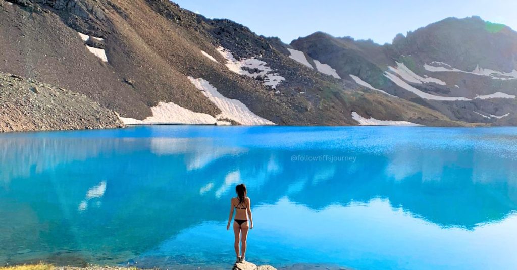


If you searched “Columbine Lake” and landed here, there are actually two hikes by this name in Colorado. This guide is for the one near Silverton, off the Million Dollar Highway — officially Trail #509 in the San Juan National Forest. (There’s another Columbine Lake near Fraser, if that’s the one you meant — different trail entirely, different mountains.) This hike leads to the most vibrant blue lake and make you ask why did I wait to long to do this hike.
Quick Hike Stats: Columbine Lake Trail
HIKE TO: Columbine Lake
TRAIL: Columbine Lake Trail #509
TRAILHEAD: Columbine Lake 509 off FR 820
DISTANCE: 6.5 miles out and back
TIME: 5.5 hrs
DIFFICULTY: Strenuous
ELEVATION: 12,712 ft
ELEVATION GAIN: 2,370 ft
DATE I FIRST WENT: 9/1/2019
PERMIT: No
PARKING: Dirt road pull out
DOGS: Yes, on leash
LOCATION: San Juan Mountains near Silverton, CO
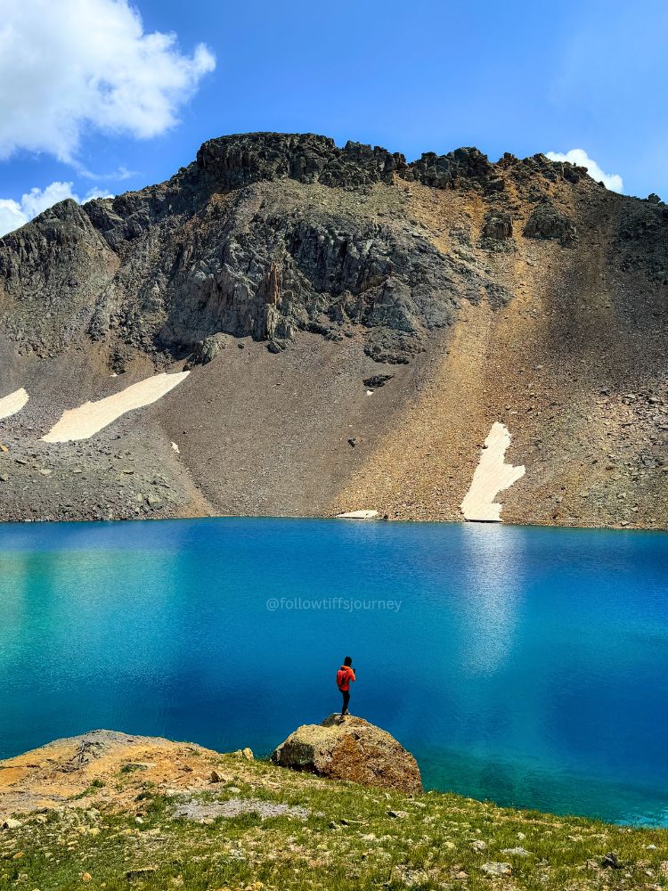
I’ve done a lot of alpine lakes in my ten years hiking in Colorado and California, and Columbine is still hands down one of the best lake hikes out there. Here’s exactly what to expect, mile by mile, straight from a hike I just repeated.
Getting to the Columbine Lake Trailhead
Take the Million Dollar Highway (US-550) to Forest Road 820 (Chattanooga Road), about 6.5 miles north of Silverton, and 18 miles south of Ouray. Follow the dirt road roughly a mile, drive through a wide stream, and watch for parking — it’s very narrow and right off the road you’re driving on without real pullouts. Spots fill up, so get there early on weekends!
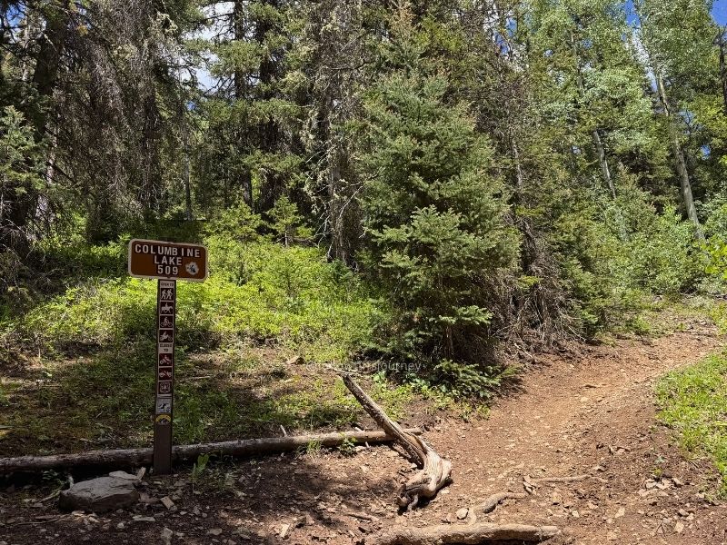
The trailhead is marked with a small post reading “Columbine Lake 509.” A high-clearance vehicle isn’t required to reach the trailhead but AWD is helpful.
Download offline maps before you go — there’s no cell service out here.
[Download my actual GPX track from this hike → here]
Columbine Lake Hike: My Personal Experience
I’ve driven to the Columbine Lake trailhead from both Silverton and Ouray, and honestly, the drive on the Million Dollar Highway is easy from either side. You can access the trailhead from what I’ve shared above, or from the Ophir Pass Access road.
There’s also an alternative trailhead which is much less popular, offers a literal off the beaten path route to reach Columbine Lake while seeing an unnamed lake along the way (see below) — if you want to learn more about planning that version of the hike, [reach out to me directly through my trip planning service here.
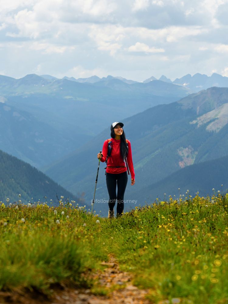
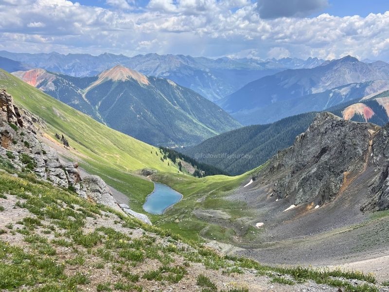
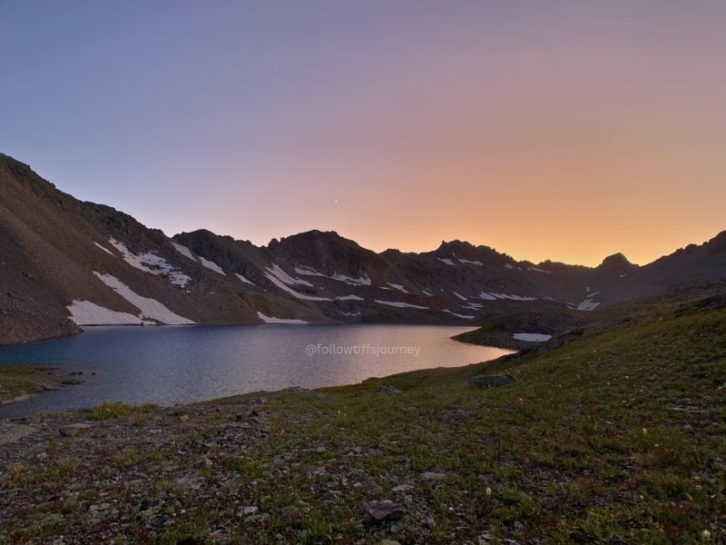
I first hiked Columbine Lake in early September 2019, over Labor Day weekend, and we had the entire lake to ourselves that trip — camped right there, not another soul in sight, and no permits needed. I’ve been back in the years between, but I just did it again the last weekend of June 2026 — the same weekend the Gold Mountain Fire started, with winds sustained at 30 mph. Strong wind or not, every single time up there has been beautiful.
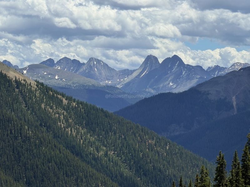
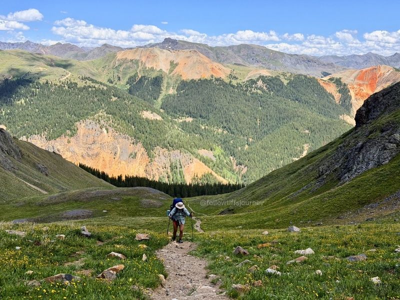
The first mile is the hardest: 1,217 ft of gain packed into 1.25 miles, all through trees, plenty of shade, but it’ll take work to go up. But once you break treeline, the whole hike changes character — the views open up, and from there it’s honestly just endless awe. You can see almost the entire remaining incline from that point, and it’s not bad at all.
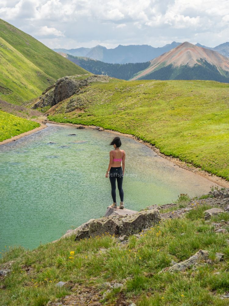
Look back here, too — you’ll catch views of the Red Mountains that are worth the pause.
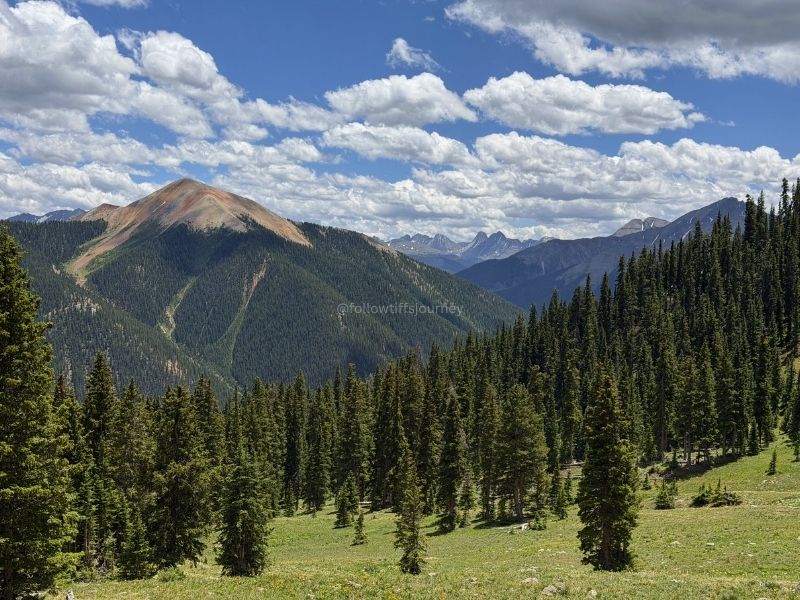
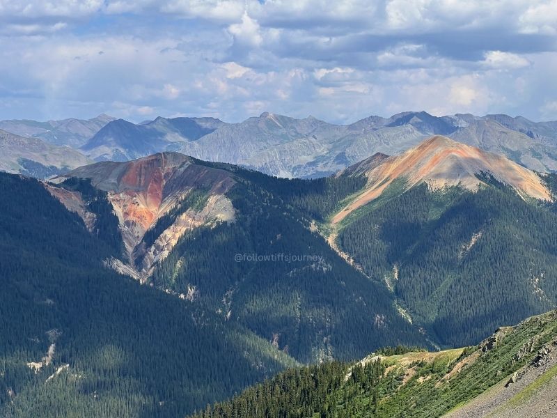
Read more about Red Mountain here
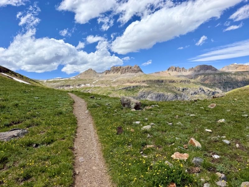
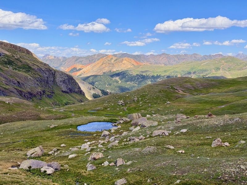
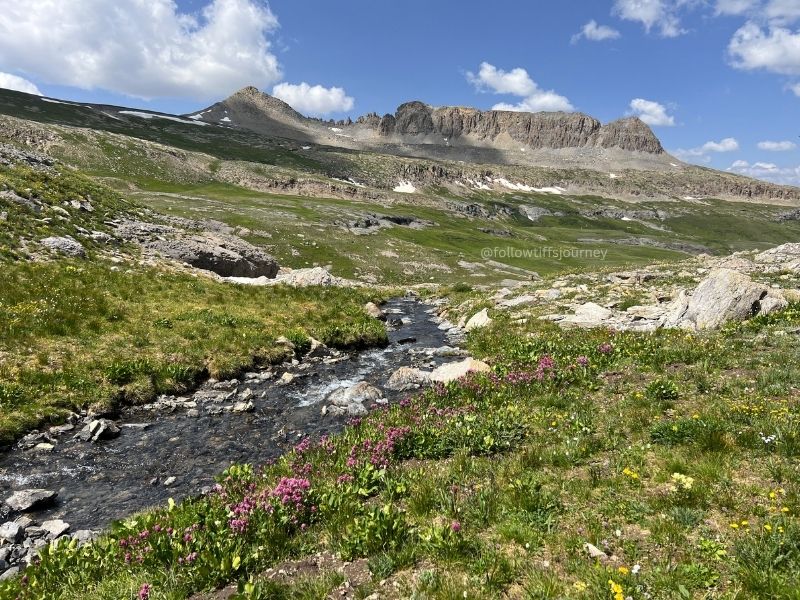
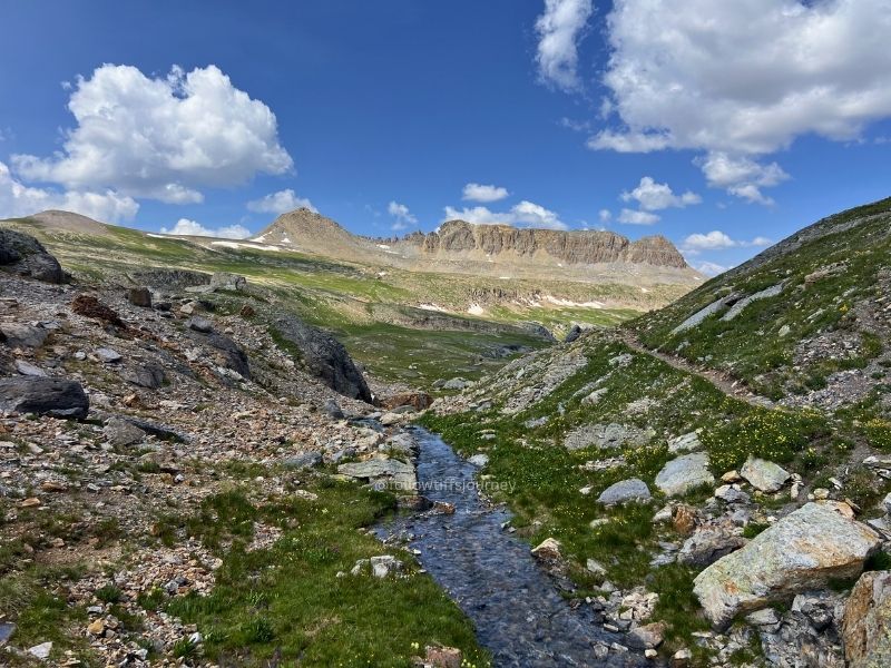
Around mile 2, there’s a patch of snow that’s been there every time I’ve visited. You can walk right through it — just watch your footing, no traction gear needed. Going in late June versus early September, I noticed more snow patches on that final mile, but again, nothing that requires spikes or poles with baskets.
This whole high-alpine section is insane — breathtaking in every direction, the kind of stretch where you stop talking and absorb the scenery surrounding you.
Near the end, there’s a very short, scramble-ish push up a rock section, and the dirt trail below it gets loose underfoot — move thoughtfully through here. Then you crest it, and you’re at the lake.
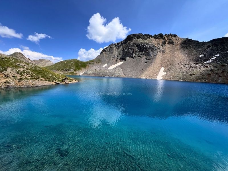
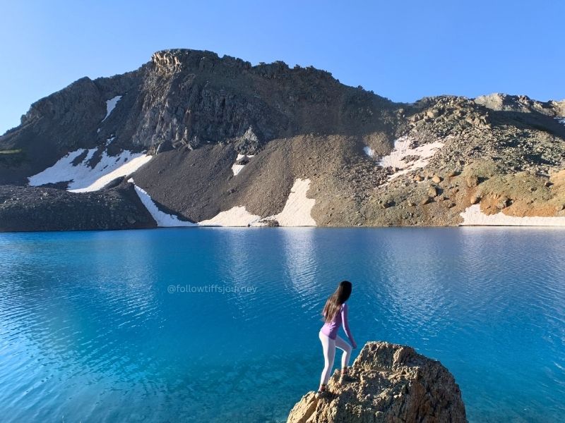
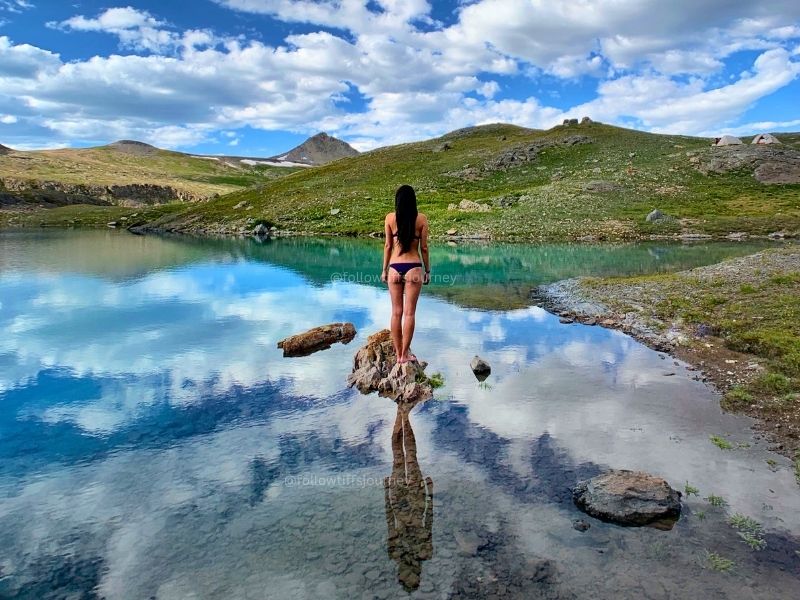
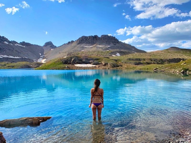
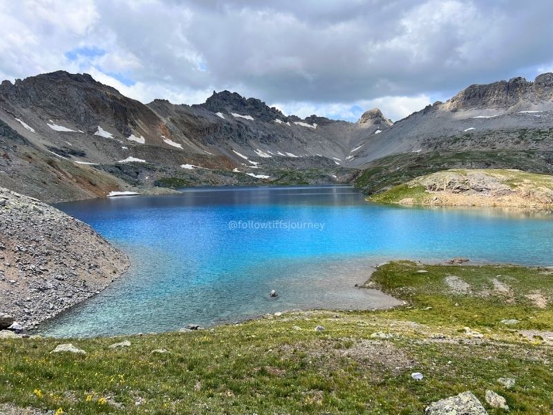
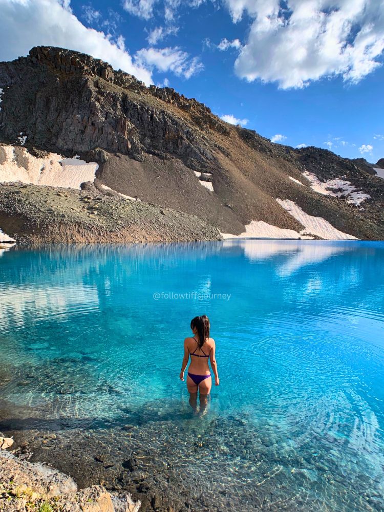
That color. Electric blue, almost glowing — the kind of blue that makes you say how is that even real out loud to no one.
Take the time to walk the shoreline and see it from a few angles — the color actually appears even more vivid from higher up. If you’re looking to get in the water, the left side as you first reach the lake is the easier shoreline to access.
Mile-by-Mile Breakdown
- Mile 0–1.25: Steep switchbacks through spruce and fir, climbing out of the forest
- Mile 1.25: Treeline — this is where the views open up
- Mile 1.3–3: Alpine meadow, gentler grade, wildflowers if you’re here in July, small stream crossiings
- Mile 3-3.3: Final climb to the lake basin
What to Know Before You Go
- Altitude: This whole trail sits above 10,000 ft. Acclimatize before you head out, and if you feel symptoms of altitude sickness, stop, hydrate, and reassess.
- Trailhead starts at 10,340 ft
- Water: Bring at least 2-3 liters and a water filter. The BeFree water filter is extremely lightweight and convenient to use, but also don’t count on any streams to filter from until after 2-miles in. This is a steep, exposed trail with real elevation gain.
- Sun: A sun shirt is worth it — you’re above treeline for a big chunk of this and the UV at higher altitude hits harder.
- Here’s the exact sun shirt I use and a 10% discount when you click the link below👇
- Wildflowers: Peak season is mid-July to mid-August.
- Weather: Afternoon thunderstorms are common in summer — start early, be off exposed sections by early afternoon.
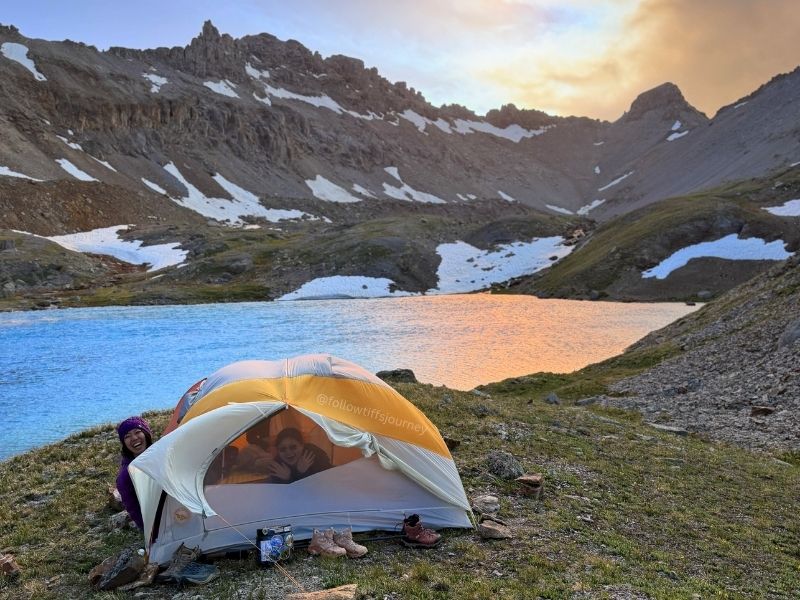
- Permits are currently not required for overnight camping but that could change in the future if we don’t continue to practice leave no trace
What to Pack for Alpine Hikes
Columbine Lake vs. Ice Lakes Basin
If you’re deciding between the two, here’s the honest breakdown: Ice Lakes Basin is more famous (thank social media for that), which means more people. Columbine Lake climbs a bit more and is steeper, but you’ll have more of the basin to yourself. I’ve hiked both and if I only had time to hike one, it probably would still be Ice Lakes Basin for the variety of alpine lakes and wildflower scenery, but if solitude matters more to you than the crowd-sourced hype, Columbine 100% wins.
FAQ: Columbine Lake Trail
Is Columbine Lake hard to hike?
Yes — it’s strenuous, with 2,300+ feet of gain packed into 3.25 miles one-way, all above 10,000 feet.
How long does it take to hike Columbine Lake?
Plan for 6-7 hours round trip. We did the one-way hike in 3:25 hrs, moving at a very leisurely pace with overnight packs on. Coming down took us 2 hrs also with refueling breaks.
Can you camp at Columbine Lake?
Yes, camping is permitted, but the alpine meadow is fragile — leave no trace and don’t camp within 100 feet of the water or the trail. There’s also not much wind protection anywhere up there.
Is Columbine Lake dog-friendly?
Dogs are welcome; leash is recommended given the terrain and other hikers.
Best time of year to hike Columbine Lake?
July through September, with peak wildflowers mid-July to mid-August but still visible into early September.
Like alpine lake hikes? 👇
Booking travel soon?
Please consider using my affiliate links below. It costs nothing additional for you but helps me maintain the ever-increasing costs of running a travel blog:
General travel through Tripadvisor here.
Book your flights here.
Book your accommodations here on Expedia, Booking.com, Hotels.com, and VRBO.
Book your car rentals here.
Book your tours here.
Book your travel insurance here.
Shop my favorite gear here.
More Hikes in the San Juan Mountains You Might Like

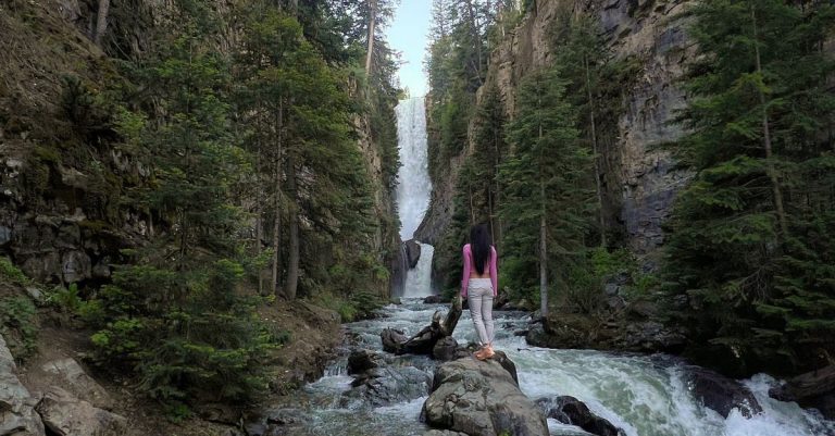


Tiff, the owner and author of Follow Tiff’s Journey, is a California/ Colorado-based adventurer and outdoor connoisseur who divides her heart between the Eastern Sierra Mountains and the Colorado Rocky Mountains. Despite her fear of heights, she’s become a seasoned mountaineer, ultralight hiking and backcountry camping enthusiast, expert road trip planner, and a fervent explorer of alpine lakes, natural hot springs, and sandstone canyons.
With 10 years of experience exploring the outdoors, her blog is your go-to source for all things wilderness, offering invaluable insights and pro tips, essential gear recommendations, and awe-inspiring stories from her adventures.
Join Tiff on her quest to share the wonders of nature and inspire others to follow their own path in the great outdoors.