HIKE TO: San Gabriel Peak
TRAIL: Mt. Lowe Road to San Gabriel Peak Trail
MILES: 3.2 miles
TIME: 1.5 hrs
DATE I WENT: 6/1/19
DIFFICULTY: easy-moderate
ELEVATION: 5979 ft
ELEVATION GAIN/ LOSS: 997/1020 ft
HIKE PERMIT: no
LOCATION: Angeles National Forest, Los Angeles/ Southern California

For National Trails Day 2019, I decided to do a last-minute sunset hike in Angeles National Forest to San Gabriel Peak which I think is one of the best hikes in the San Gabriel Mountains for all hiker levels.
On overcast days, it’s always a debate whether to attempt a sunset hike or not because I feel like there’s usually no views… but I always regret it – so I went for it. If you’re ever unsure – don’t question it and just go because if you’re lucky, you’ll be rewarded with the most epic sunset colors in the sky.
San Gabriel Peak Trail
The hike to San Gabriel Peak is a short, out-and-back trail starting at the Eaton Saddle trailhead on Mount Wilson Red Box Road off the Angeles Crest 2 Hwy. There are parking pullouts on both sides of the road and it’s the same trailhead that you take for Mt. Lowe, Mt. Disappointment, Mt. Markham, and many other nearby peaks in the San Gabriel Mountains.
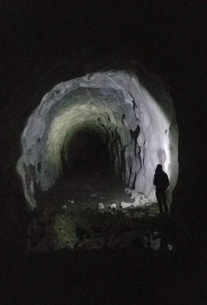
The trail starts on Mt Lowe Road which is a flat fire road that connects to the old Mt Lowe Railway. It runs along the side of the mountain for 0.5 mile and you’ll walk through the Mueller Tunnel after the first 5 minutes before coming to a junction with a large water tank to your right.
At this junction, you can either go straight to continue towards Inspiration Point & Muir Peak (which you can also access from Cobb Estate/ Echo Mountain in Altadena), head up the trail to the left which leads to Mt. Lowe, or hang right to continue on the San Gabriel Peak Trail towards San Gabriel Peak – this is the trail you want.


The San Gabriel Peak Trail section is only 1.1 miles one-way and has some elevation gain; most of the incline is on the latter half of this trail. The views will open up here as you get a little higher and at 0.7 miles when the trail reaches another junction, you’ll want to continue to your right (the left goes to Mt. Disappointment).
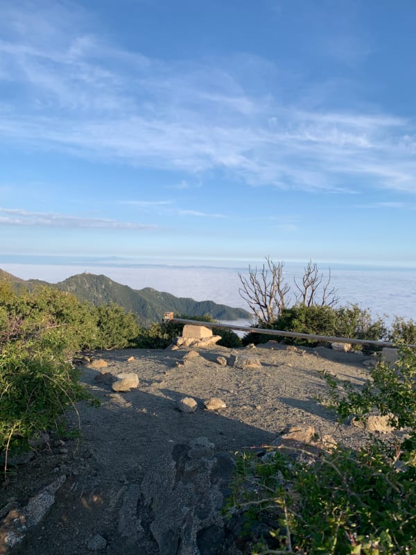
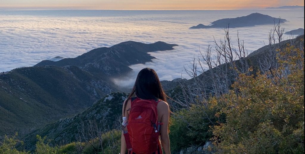
From here, you’re only 0.4 miles away from the summit. This part had slightly steeper sections so be extra careful on your way down. At a comfortable 45 minutes from the start of the trail, we reached San Gabriel Peak and instantly got rewarded with an inversion and the sun glowing warmly above the clouds!


We stayed for an hour to enjoy the whole sunset which I rarely do any more on local trails and brought our headlamps to head back down in the dark.


Hiking above the clouds:
An INVERSION is basically the reversal of the normal temperature behavior, so the cool air sits closer to the surface and the warm air hovers above it.
I didn’t look into the scientific reasons behind this occurrence but from my hiking experiences, I’ve learned that when I start a hike on a cold/ gloomy/ cloudy day and I am either hiking through the clouds (usually pretty cold) or I drive up above the clouds or through it, that’s when I am more likely to be rewarded with the “above the clouds” views.
Sometimes the trail will start warm, get cold as you’re going through the clouds, and warm up again once you’ve gotten above it, but just because it’s a cloudy day…. doesn’t mean you’re guaranteed these conditions.
It is possible to have it at low conditions though as I’ve seen at Henninger Flat and in the Santa Monica Mountains. I’ve also been lucky enough to camp overnight and wake up above the clouds, but if you’re looking to catch these conditions, you don’t always need to go to high-elevation trails. Sometimes it’s in the mornings, sometimes in the evenings… don’t try to narrow down the time frame and just go for it 🙂
What to pack for a short, sunset hike in San Gabriel Mountains:
- Garmin GPS Watch
- Gregory Nano 18 Day Pack
- Nitecore Rechargeable Headlamp
- Lululemon Wunder Under Leggings
- Arc’teryx Atom Insulated Jacket
Thanks for reading!
I’d love to hear your thoughts . Please leave questions, comments, suggestions below 🙂
More Hikes in Angeles National Forest
Booking travel soon?
Please consider using my affiliate links below. It costs nothing additional for you but helps me maintain the ever-increasing costs of running a travel blog:
General travel through Tripadvisor here.
Book your flights here.
Book your accommodations here on Expedia, Booking.com, Hotels.com, and VRBO.
Book your car rentals here.
Book your tours here.
Book your travel insurance here.
Tiff, the owner and author of Follow Tiff’s Journey, is a California/ Colorado-based adventurer and outdoor connoisseur who divides her heart between the Eastern Sierra Mountains and the Colorado Rocky Mountains. Despite her fear of heights, she’s become a seasoned mountaineer, ultralight hiking and backcountry camping enthusiast, expert road trip planner, and a fervent explorer of alpine lakes, natural hot springs, and sandstone canyons.
With 10 years of experience exploring the outdoors, her blog is your go-to source for all things wilderness, offering invaluable insights and pro tips, essential gear recommendations, and awe-inspiring stories from her adventures.
Join Tiff on her quest to share the wonders of nature and inspire others to follow their own path in the great outdoors.

Really enjoyed your description. I did the climb many times in the past and was always leery after reaching the summit of that almost sheer drop that falls many hundreds of feet below to the fire road. I always felt more comfy packing a revolver in my kit bag. Great view. I can savor a cup of tea and enjoy the view of SGP from my dining room window here in Huntington Beach on a clear day. (Jim)
Wow Jim, didn’t know you can see San Gabriel Peak from the coast! Also, not sure what section that sheer drop by the summit is…