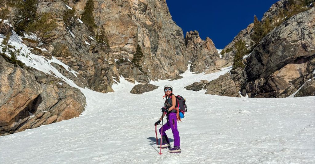
Dragon’s Tail Couloir in Colorado is a classic climb with a short and sweet approach. It’s less than 2 miles to hike in with only 665 ft of elevation gain to the end of the hiking trail. From here, the snow climb began for us to reach Dragon’s Tail Couloir but how low the snow level starts will depend on when you go during the Spring season. The snow climb is 1800 ft and said to get as steep as 50º but it was steeper when we went. See elevation profile at end of post.

CLIMB: Dragon's Tail Couloir
TRAIL: Nymph Lake Trail > Emerald Lake Trail > Dragon's Tail Couloir > Flattop Mountain Trail
TRAILHEAD: Bear Lake Trailhead
MILES: 7 miles
TIME: 5 hrs
DATE I WENT: 4/15/24
DIFFICULTY: moderate-challenging
ELEVATION: 11,937 ft
ELEVATION GAIN: 2,465 ft
HIKE PERMIT: no
PARK PERMIT: yes - I recommend getting an annual National Parks Pass
PARK RESERVATIONS: required from May - Oct
LOCATION: Rocky Mountain National Park, Colorado
Just want to hike to the alpine lakes? Click here for my blog post to hike Dream Lake and Emerald Lake.

Dragon’s Tail Coulior has been a bucket list climb for the past year. To be honest, this route wasn’t even on my radar yet this season but when we heard two days prior that it was currently in good climbing conditions, we made last-minute plans to head out there on Monday before the incoming storm.
We were originally thinking of skiing in, climbing, then maybe skiing the Flattop Mountain Trail down because my ski levels are not that of skiing a couloir yet, but we ultimately decided not to take our skis which was the right call (unless you plan to ski the couloirs).
There was a storm coming in later this afternoon so we had to make sure we were efficient with our time getting up and down. The weather forecast said it would be sunny with a high of 28º mid-morning, wind chill of 18º with winds of 10mph at around 12,700 ft; the clouds were supposed to take over at noon and the storm would hit as early as 3 pm.
So I packed winter layers to be prepared for if the storm came early and we took longer than expected. We had bright blue skies and a really hot climb.
Shop my Spring Mountaineering Gear List
- Crampons
- Ice Axe
- Ski pole or hiking pole
- Mountaineering boots
- Merino wool socks
- Ski Pack – compatible with climbing and mountaineering
- Layers – down jacket, softshell jacket, light technical mid-layer, baselayer, ultra-baselayer
- Gloves – I climbed in my fleece gloves but carried climbing gloves
Climbing Dragons Tail Couloir
The Bear Lake Trailhead is a little under 2 hours from Denver so we had an early wake up call.
We started the hike at 6:45 am, reached Dream Lake at 7:17 am, Emerald Lake at 7:45 am, and began our ascent toward Dragons Tail at 7:50 am. The 1.7-mile hiking trail was completely covered in firm snow and icy in sections when we went in April 2024.


The snow climb, including the couloir, is about 1.2 miles with 1,800 ft of elevation gain according to my GPS tracker, but it’s about half a mile as the crow flies.
The beginning of the climb was mellow, hiking on snow with an easy grade. The sun had been baking in the sun for about an hour by this point so the snow was starting to soften. There was still firm snow underneath the top layer but it was softer in some sections than I prefer.
Since the grade was relatively mellow and there was only one other party climbing the same objective, we felt comfortable hiking up to the rock at the bottom of the couloir before pulling out our ice axes and helmets.


At 8:15 am, we were heading up Dragon’s Tail couloir. It was so hot with the reflection of the snow that I actually ended up de-layering down to my bralette for almost the entire climb. Gotta love spring climbing…
Ladies, if you’re looking for a good and light merino wool bralette and underwear, I highly recommend Branwyn – click here to shop.
We did each bring a second ice axe/ ice tool because we read it gets steep up higher and since I am scared of heights and not as comfortable climbing without a rope, I wanted to make sure I had a tool to help me with the steeper snow/ ice section just in case I needed it. I’ve had a somewhat strong waterfall ice season that’s built my confidence for climbing on vertical ice and having an ice tool with me simply gave me added peace of mind, even if it was unnecessary.
I didn’t end up using it.


Stating the obvious, but the snow got softer throughout the day.
We climbed directly up the middle and there weren’t many tracks to follow, but I enjoyed leading the way. We took the left fork at the Y junction which is the standard climbing route (there was also a big cornice on top of the right fork) and it’s supposed to get a bit steeper with class 4 rock/ mix climbing.
We found one short section that got steeper, but not steep enough to need our second axe. There were also some bucket steps in this top section but I didn’t use it much—it was either not there enough or I wasn’t paying attention and didn’t see it. Regardless, I forged my own path (& likely created bucket steps for all the men behind me) for about 90% of the climb.
The rock section was non-existent for us this early in the season. I guess I expected this couloir to be more demanding and harder. But it felt moderately chill and really fun! Of course, having the right partner to go with makes all the difference.


We got to the top of the couloir at 10:17 am. It got steep again just before reaching the top and the couloir narrows a lot which I enjoyed.
From the top, you can see frozen Emerald Lake directly at the bottom of the line. Flattop Mountain can be seen in the near distance but we decided not to hike to it so we could enjoy the views of Longs Peak and Rocky Mountain National Park, and get down before the storm came.


(mileage may be off)
The hike down is about 4.2 miles when it’s dry, but we probably cut down a few switchbacks since the trail was mostly buried in snow. We even saw some ptarmigan (white bird in the photo above)!

It took us 1:40 hrs to hike down and we were back by 1 pm with a couple of hours before the storm rolled in.
Booking travel soon?
Please consider using my affiliate links below. It costs nothing additional for you but helps me maintain the ever-increasing costs of running a travel blog:
General travel through Tripadvisor here.
Book your flights here.
Book your accommodations here on Expedia, Booking.com, Hotels.com, and VRBO.
Book your car rentals here.
Book your tours here.
Book your travel insurance here.
Shop my favorite gear here.
Colorado Hikes & Adventures
-
Visit Bentonite Hills: Utah’s Rainbow Desert That Feels Like Mars
Explore Utah’s Bentonite Hills near Capitol Reef in Hanksville. It’s a surreal, colorful, off the grid desert landscape perfect for photography & easy exploring.
-
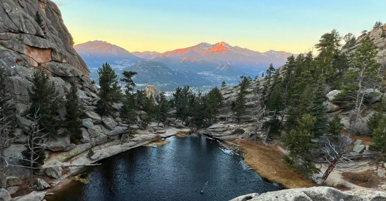
Gem Lake Hike in Rocky Mountain National Park, CO
Hike 3.4 miles roundtrip to Gem Lake in Rocky Mountain National Park for panoramic views, granite cliffs, and a peaceful alpine lake above Estes Park.
-
Patagonia 10 days Itinerary: Best Sights from Chile to Argentina
10-day Patagonia itinerary covering Chile & Argentina highlights — Torres del Paine, Fitz Roy, glaciers, and epic hikes.
-
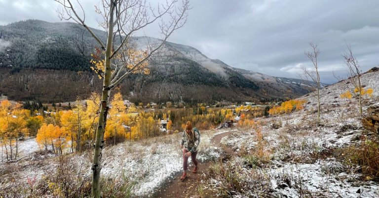
Booth Falls Vail: Colorado’s Hidden Waterfall Hike with Big Payoff
Scenic hike in Vail Colorado to the top a 60-ft waterfall through golden aspens and alpine views. Beautiful fall colors hike!
-
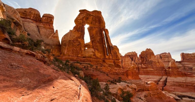
Druid Arch Trail: One of the Best Hikes in Canyonlands National Park
Hike the Druid Arch Trail in Canyonlands’ Needles District—10.5 miles through Elephant Canyon to one of Utah’s most unique arches.
-
Sagehen Summit: Eastern Sierra’s Hidden Gem for Fall Colors (2025 Update)
Sagehen Summit is peaking with golden aspens right now! See fall colors near Mono Lake before they fade — go early October for peak colors

Tiff, the owner and author of Follow Tiff’s Journey, is a California/ Colorado-based adventurer and outdoor connoisseur who divides her heart between the Eastern Sierra Mountains and the Colorado Rocky Mountains. Despite her fear of heights, she’s become a seasoned mountaineer, ultralight hiking and backcountry camping enthusiast, expert road trip planner, and a fervent explorer of alpine lakes, natural hot springs, and sandstone canyons.
With 10 years of experience exploring the outdoors, her blog is your go-to source for all things wilderness, offering invaluable insights and pro tips, essential gear recommendations, and awe-inspiring stories from her adventures.
Join Tiff on her quest to share the wonders of nature and inspire others to follow their own path in the great outdoors.
