
The iconic Maroon Bells — South Maroon Peak and North Maroon Peak — are two of Colorado’s most photographed 14ers, rising dramatically in the heart of the Elk Mountains near Aspen. For hikers, the Four Pass Loop is a stunning 30-mile backpacking route that circles the Maroon Bells, crossing four high alpine passes and offering nonstop mountain views. For climbers seeking a spicier challenge, the Maroon Bells Traverse links both peaks via a rugged and exposed Class 5 ridge — often considered one of the most difficult and rewarding traverses in Colorado.
HIKE TO: 4 Pass Loop, South Maroon Peak 14188 ft, North Maroon Peak 14038 ft
TRAIL: Four Pass Loop (via West Maroon Trail + Maroon Bells Traverse)
TRAILHEAD: East Fork Trailhead
MILES: 38.55 miles
TIME: 5 days/ 4 nights
DATE I FIRST WENT: August 6-10, 2022
DIFFICULTY: moderate-difficult
ELEVATION GAIN: accumulated 12,687 ft
HIKE PERMIT: yes, details below
LOCATION: Maroon Bells-Snowmass Wilderness, Colorado
Maroon Bells Trip Highlights


The Four Pass Loop hike can be done in fewer days but I wanted to take my time in the backcountry and spend some time in the mountains. Most of you know I’m typically a faster hiker but this may be the first time I really took my time and hiked at a leisurely pace.
Instead of taking the main entrance by Maroon Lake to start the Four Pass Loop which requires a separate parking permit (up to two nights), we opted for the East Fork Trailhead (free parking) and started on the West Maroon Trail which creates a lollipop loop to connect to the Four Pass Loop.
This trailhead does require a 4wd car but most of it wasn’t bad. This trailhead also starts near Crested Butte just beyond Gothic, not Aspen.
We also added the Maroon Bells Traverse one day so we did have to repeat a couple of miles of the 4 pass loop trail.
Be mindful of critters—I left my water filter out at camp and something stole it while I was sleeping!
What are the Four Passes on the Four Pass Loop?
- Frigid Air Pass 12,430 ft
- Trail Rider Pass 12,432 ft
- Buckskin Pass 12,505 ft
- West Maroon Pass 12,515 ft
Fun Fact: all 4 passes are 12k ft.
Do You Need a Permit for Four Pass Loop Colorado?
Permits are required to hike Maroon Bells. A new advance reservation system is in place as of 2023 and requires permits for overnight camping in the busiest areas of the Maroon-Bells Snowmass Wilderness including Capitol Lake, Crater Lake, and the Four Pass Loop including Snowmass Lake and Geneva Lake.
You can reserve your permits on recreation.gov. If you’re planning to camp anywhere else in the Maroon Bells-Snowmass Wilderness, a permit is still required but you can self-register at the trailhead/ parking lots.
Click here to skip to Maroon Bells Traverse Climb
Click here to skip to Gear List
Click here to skip to full GPX below


Four Pass Loop Day 1: Hike Frigid Air Pass
- Accumulated mileage from East Fork Trailhead
- 3.16 miles from the TH to the trail junction of West Maroon Pass and Frigid Air Pass
- 4.5 miles from the TH to the bottom of Frigid Air Pass
- 4.86 miles from the TH to the top of Frigid Air Pass / 1971 ft of elevation gain (2:38 hr)
- 8.16 miles from the TH to camp 1 next to North Fork Crystal River (4:22 hr total)
I flew into Denver this morning, we drove about 5 hours and arrived at the trailhead by 4:30 pm.
We started hiking at 5:15 pm and were lucky to catch the sunset on top of Frigid Air Pass, offering breathtaking views of the Maroon Bells-Snowmass Wilderness to start the trip. In early August, the wildflowers were in full bloom out in Colorado!
A lot of the good (flat) campsites are closed for restoration so we ended up sleeping on a bit of a slant with easy access to water. We hiked all the way down Fravert Basin to the bottom by the river and set up camp late around 9:30 pm because we had a late start.


Four Pass Loop Day 2: Hike Trailrider Pass to Snowmass Lake
- Accumulated mileage from East Fork Trailhead:
- 8.72 miles: creek crossing
- 10.65 miles: top of miserably steep uphill before the pass /elevation 11,164 ft
- 12.28 miles: top of Trail Rider Pass / elevation 12,432 ft
- 14:51 miles: Snowmass Lake camp 2 / elevation 10,988 ft
Day 2 was a very short hiking day but does not fall short of exciting and beautiful views. We hiked 1,947 ft of elevation gain in 4.13 miles to reach Trail Rider Pass, ending up at 6.35 miles total to reach camp at Snowmass Lake.
We started at 8:10 am and quickly approached a large creek crossing (there is also a big flat camp area to the left just before the crossing). The water was freezing and it took me a while to brave the cold but I ended up taking my shoes off to cross and saw a moose on the other side of the water!
The trail continues relatively flat-ish and shaded before reaching the junction to Geneva Lake which adds a little mileage. We stayed on our trail directly to Trailrider Pass which starts steep; in fact, the grade is steeper than the upcoming pass itself.
The trail gains 883 ft in 1.13 miles, then flattens out a bit and even descends a little before you hike up Trailrider Pass. We arrived at the top of Trailrider Pass at 11:33 am.
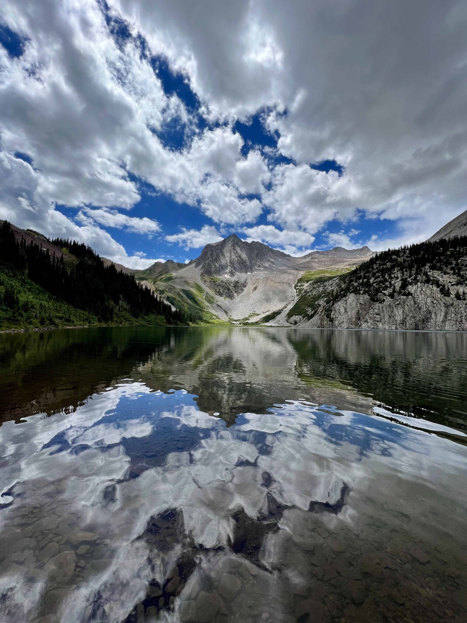
The top of Trailrider pass was very windy and offered stunning views of Snowmass Lake, including a small tarn behind it! The turquoise color of the lake got me excited to hike down and set up camp… so off we went. After a 20 min summit break, we hiked downhill to arrive at Snowmass Lake at 1:15 pm and spent another 15 mins looking for the perfect camp spot.
Snowmass Lake is a popular camp destination because there is another easy trail into this beautiful lake, so get there early to secure a decent campsite. There are plenty of flat spots to camp but we had other hikers camp as close as 20 ft away… it definitely takes away from the remote wilderness backpacking experience I tend to seek when heading to the backcountry.
Anyways, it was a very cloudy day with chances of precipitation but we hung out at the lake and camp all day waiting for the clouds to clear. The water was not as cold as I expected it to be!



Four Pass Loop Day 3: Hike Buckskin Pass to Crater Lake
- Accumulated mileage from East Fork Trailhead:
- 18.62 miles: top of Buckskin Pass/ elevation 12,505 ft
- 21:64 miles: to Crater Lake/ elevation 10,115 ft
- 23.32 miles: to the junction for Maroon Peak climb/ elevation 10,449 ft
- 23.4 miles: camp 3, just beyond the base of our Maroon peak climb/ elevation 10,483 ft
Starting our hike at 7:26 am, the trail was shaded and downhill through the trees, then flattened out by Snowmass Creek before the uphill hiking starts. There are more campsites just up after the creek crossing if you choose not to camp by the crowds at Snowmass Lake.
The total elevation gain from Snowmass Lake camp to Buckskin Pass was 1,476 ft and 3.92 miles, so a relatively chill morning hike.
We arrived at the top of Buckskin Pass at 9:44 am, had my delicious Mountain Berry Granola with added strawberries I’ve been wanting to try for breakfast, and enjoyed the views for about 30 mins before dropping back down onto the trail.
Buckskin Pass is actually very short, but it seems all of the mountain passes out here are small (compared to the Eastern Sierra). The 360 views from the top offered incredible sights looking back at Snowmass Lake, Snowmass Mountain, Pyramid Peak, and many more!
The trail from Buckskin Pass to Crater Lake is all downhill, but the annoying downhill that you’re trying not to slip on loose dirt and tiny rocks. 2.93 miles and 2,345 ft of elevation loss later, we arrived at the junction for Crater Lake with the lake being just 3 mins further.
This junction is where the standard trail starts for most people who hike the Four Pass Loop. We chose our trailhead due to parking/ shuttles.
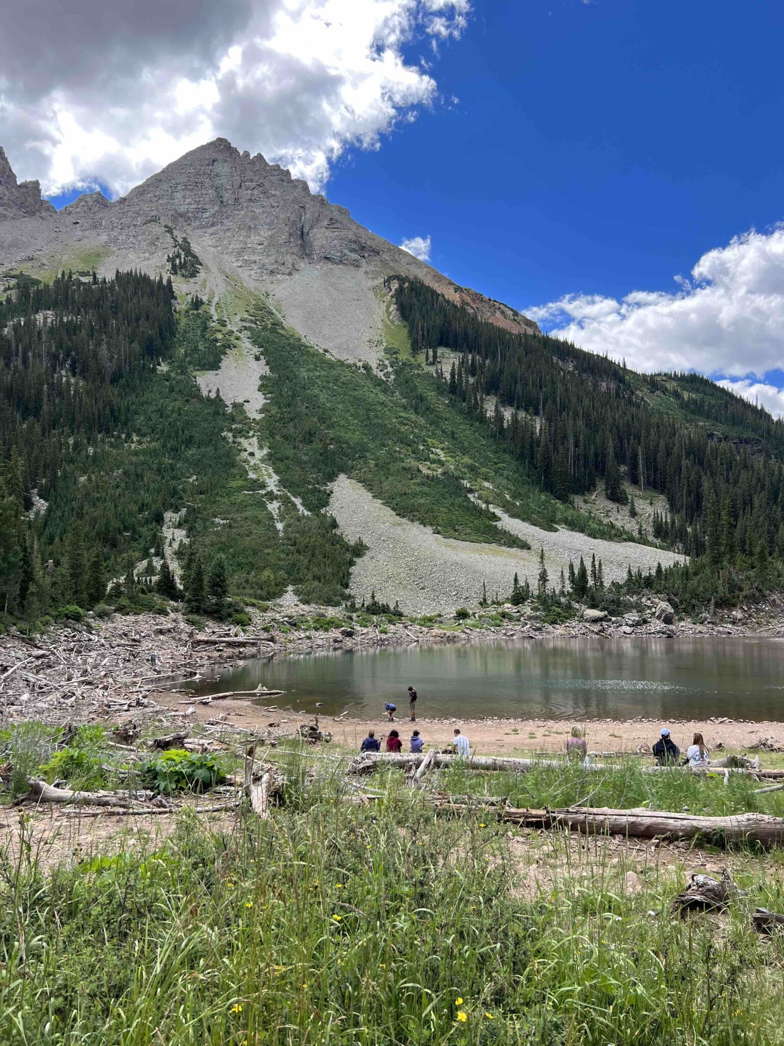
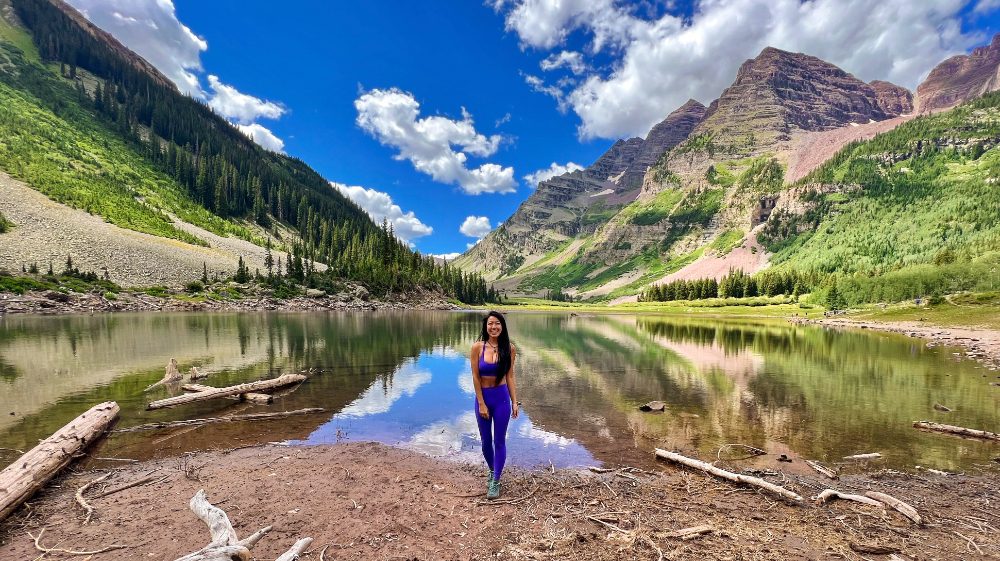
Crater Lake (10,115 ft) is very crowded but we enjoyed a little solitude away from the crowds far off to the side. Since it was only 11:37 am with plenty of time to kill in the day and being close to our next camp already, we hung out here for another 30 mins before moving on.
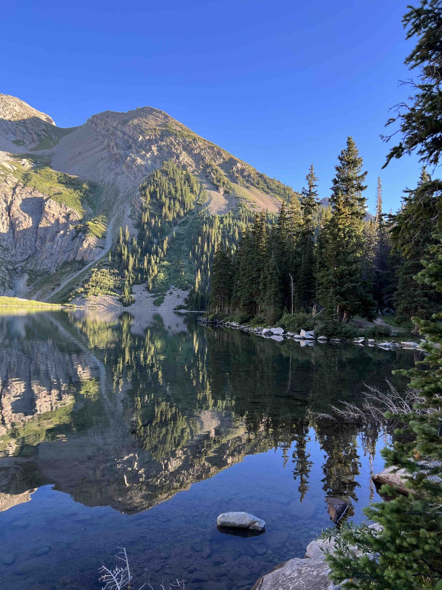
There are about 11 numbered campsites near Crater Lake which you have to camp by, but because we wanted to camp near the base of our Maroon Bells climb for an alpine start in the morning, we kept hiking further.
From Crater Lake to the junction of the South Maroon Peak, it’s 1.68 miles and 334 ft of elevation gain. This section of the trail seemed to be more humid than the rest of the trail.
There was one campsite about 5 mins before the junction, and we found one campsite just 3 mins after in the only section that did not have a closed for restoration sign. Aside from these two campsites, you’ll probably have to camp by Crater Lake (or day hike in) before starting the Maroon Bells traverse.
We arrived at camp at 1 pm.






Four Pass Loop Day 4: Climb Maroon Bells Traverse from South Maroon Peak to North Maroon Peak, and West Maroon Pass
Climb two Colorado fourteeners, one traverse, and one pass
- Accumulated mileage from East Fork Trailhead:
- 25.14 miles to ridge to Maroon Peak/ elevation 13,348 ft
- 26 miles to South Maroon Peak/ elevation 14,188 ft/ elevation gain from camp 3,705 ft
- 26.59 miles traverse to North Maroon Peak/ elevation 14,038 ft
- 29.41 miles to connect back with the Four Pass Loop trail
- 31.21 miles to get back to camp/ elevation loss from North North Maroon Peak 3,555 ft
- 34.2 miles to the top of West Maroon Pass/ elevation 12,515 ft
- 35.23 miles to get to camp 4 / elevation 11,712 ft
This was a long day — starting with an alpine start around 5:10 am and finishing at 7:46 pm with 11.67 miles total and 5,737 ft of elevation gain.
3,705 ft of elevation gain from camp to the top of South Maroon Peak, & then
2,032 from camp to the top of West Maroon Pass.
Climbing South Maroon Peak
The ‘trail’ up South Maroon Peak starts off on a somewhat established route through the rocks for 1.52 miles and 2,728 ft of elevation gain. It tops out at 13,211 ft when you reach the ridgeline to climb up South Maroon Peak.
My feet were moving but it took a while for me to fully wake up. It took us 2:20 hr to gain the ridge and we caught a stunning sunrise and infinite wildflower views along the hike. This is where the fun part begins.
You stay off to the side of the true ridge for the entire section to the summit of South Maroon Peak. There are a lot of cairns which can get a bit confusing so route-finding experience really helps, but you basically traverse along the ridge for awhile before going up a gully and continuing traversing.
Use the below pics and captions to help navigate if you’re following my gpx track below.
At 9:19 am, we reached my first Colorado 14er, South Maroon Peak 14,188 ft. From the summit, you can look down at Fravert Basin and even see where we started the trip and where we’ll be exiting.
Altitude sickness: This one hit differently. Altitude hits at any time. I’ve spent a lot of time hiking at high elevations. 14ers are not uncommon for me – I’ve hiked all CA 14ers and have never felt what I felt… I feel lucky that the most I generally feel with altitude sickness is a little fatigue and sleepy, but I got extremely dizzy on this climb, so dizzy and lightheaded on the way up that I questioned if I’d make it or need to turn around. I felt like my head wouldn’t stop spinning which naturally made me move slower and stop more. I can be stubborn but I’m no stranger to turning around on a hike when necessary as safety always comes first. I didn’t want to alarm my partner because I was afraid he’d tell me we should turn around so I went slow and told myself if I didn’t feel better after a break and snack at the summit, I would let him know and possibly turn around. I don’t know if it was the summit high or food, but I felt 100% better after our long summit break.


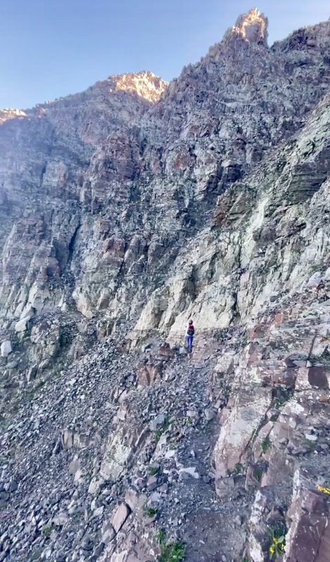


Climbing Maroon Bells Traverse from South Maroon Peak to North Maroon Peak
The Maroon Bells Traverse is 0.5 miles and took us 1:40 hr to complete but we took a big break along the way so it can certainly be done faster. It is said to be class 5 but most of it was class 3-4.
There is a fun chimney-like climb followed by one other climb immediately after which would be the toughest part but if you’re a climber, it’s just fun.
For someone that does not scramble above class 3 routes though, you might find yourself in some spicy spots.
Overall, I’m scared of heights and didn’t find the entire climb to have much exposure. I also feel like the rock is not as loose as I expected it to be; in fact, most of it was more solid than I could have hoped for – most, not all, so be cautious still.
We did bring a rope for my peace of mind but didn’t use it at all, and we did wear our helmets – you just never know what another climber or the mountain might drop down on you.
You can find solid details of the route on 14ers.com – There are said to be 3 obstacles but I don’t understand why obstacle 2 is an obstacle as you can simply keep walking around it.
We made it to North Maroon Peak 14,038 ft at 11:48 am. Some maps do not list it as a 14er but my tracker puts it there.

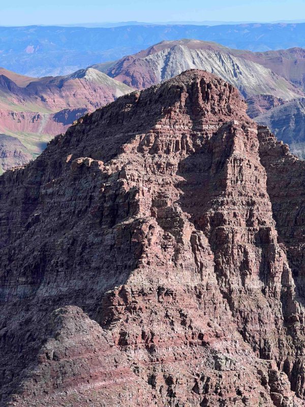


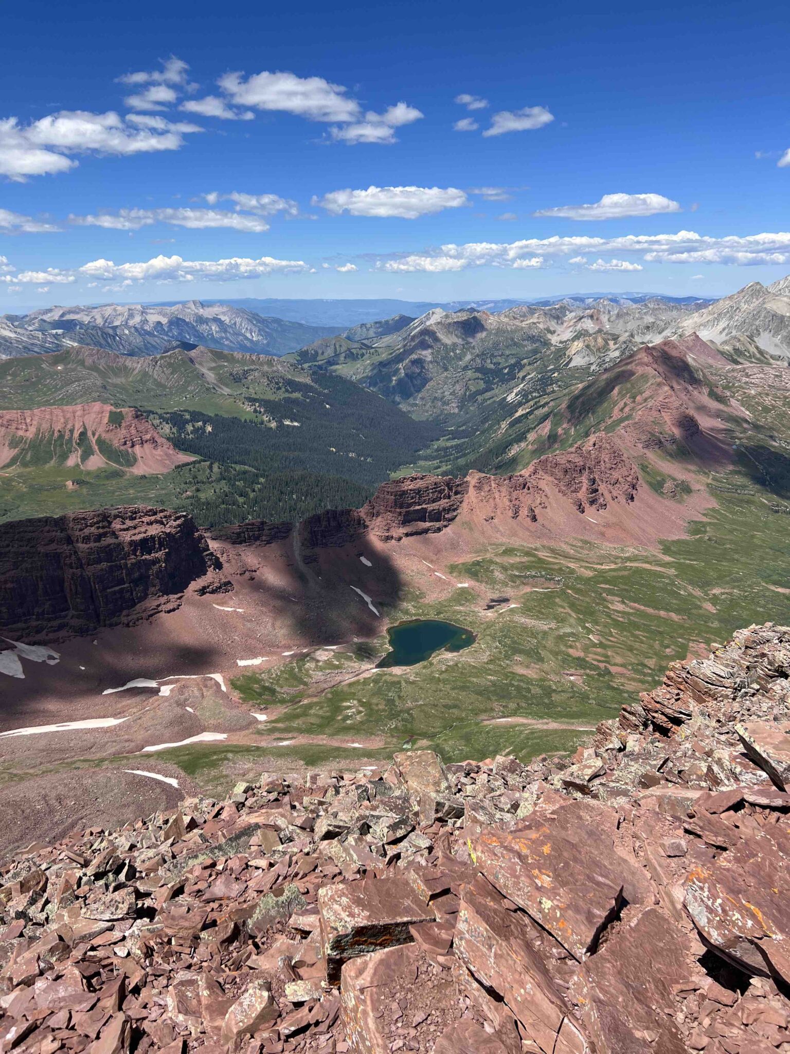
Hiking down North Maroon Peak to Camp
This part was the suckiest day of the entire 4.5-day trip. 2 miles and 3,251 ft of elevation loss and you connect back with the Four Pass Loop trail.
Simply follow the cairns to begin the descent, then look out for the trail to curve left around the mountain after a lot of switchbacks. Then you’ll end up on a boulder field before reconnecting with the trail. In another 2.63 miles from that junction, we reached our campsite at 3:49 pm.
This part of the trail is the only section we had to repeat for the entire trip.


Hiking from Camp to West Maroon Pass to our final camp
We packed up camp and began hiking again by 4:24 pm. Unsure of where we wanted to camp for the night, whether we felt like going up the final pass after our big climb already today, we just hiked at a slow pace (my knees were feeling the descent) until we felt like stopping.
We somehow found the will to hike it to the top of West Maroon Pass 12,515 ft at 6:46 pm. This was 3 miles and 2,032 ft of elevation gain from camp.
We hiked down to the trail junction we started our lollipop loop at and looked for a nice flat campsite to the left on the opposite side of the creek. We set up camp at 7:46 pm and enjoyed a beautiful sunset that lit up the pass we just descended.


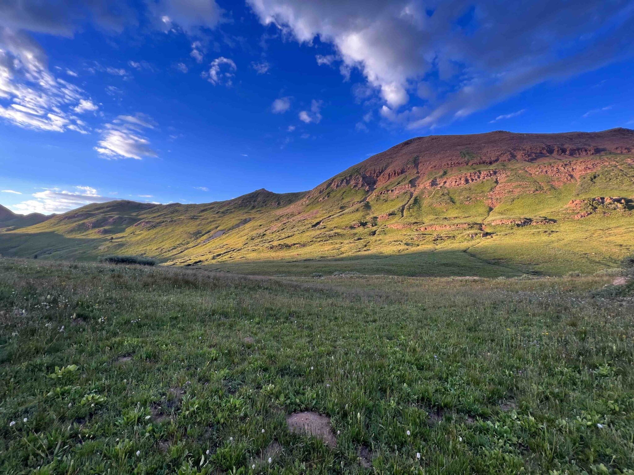


Four Pass Loop Day 5: Hike Out
- Accumulated mileage from East Fork Trailhead:
- 38.55 miles: complete loop back to trailhead parking lot/ elevation 10,455 ft
We packed up quickly this morning and started our quick hike out at 6:49 am. With only 3.32 miles and 1,292 ft to descend, we quickly hiked out by 8:11 am.

GPX: Maroon Bells Traverse + 4 Pass Loop

What to Pack for Four Pass Loop and Maroon Bells Traverse (5 days in the backcountry + a scramble)
- 50L ultralight backpacking pack (custom-built)
- Attachable Shoulder Pocket
- Bear can
- 30 degrees quilt
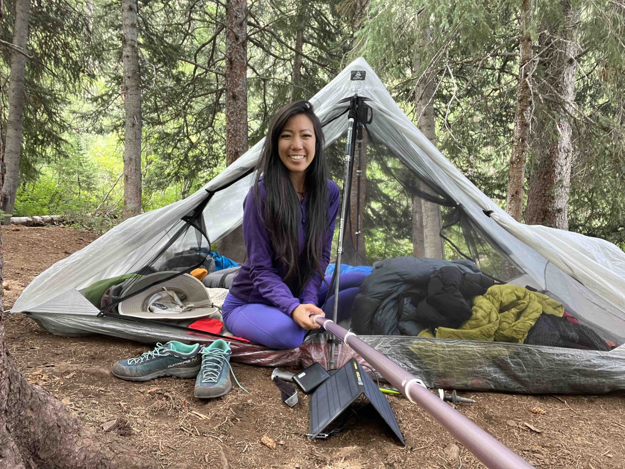
- 2p ultralight tent (HMG Dirigo is discontinued; similar new model linked)
- Inflatable Sleeping Pad
- Solar battery charger
- Portable battery charger (about 2 full charge)
- Helmet
- Stove
- Titanium Cup
- Toilet paper
- Sunscreen
- Selfie stick – extra long with tripod
- Sun Gloves
- Sun shirt
- Light Synthetic Insulated Jacket
- Down Jacket
- Wind breaker
- Rain shell
- Sports Bra/ Leggings (10% off code followtiffsjourney)
- Down booties
- Hiking Socks
- Sleep shirt
- Sun Hat
- Trail/ Approach Shoes
Places to Stay Near Maroon Bells
- Nordic Inn in Crested Butte $
- Main Street Room in Aspen $$
- Grand Lodge Unit in Crested Butte $$
- Westwall Lodge in Crested Butte $$$
- Limelight Hotel in Aspen $$$
FAQ: Four Pass Loop
How difficult is the four pass loop?
Depending on your fitness levels and how you plan to hike the loop, this trail can be considered moderate to difficult. If you split each of the passes to a day hike for a combined multi-day backpacking trip like we did, it’s fairly easy and each day is short miles. However, if you do it all in one day, it would be long and strenuous.
What is the 4 pass loop?
The 4 pass loop is a popular and classic Colorado hike near Aspen and Crested Butte. It’s about 32 miles for the loop (starting from the East Fork Trailhead near Crested Butte) and can be extended to 38 miles if you climb the Maroon Bells Traverse. It’s one of the most beautiful hikes in Colorado you have to do.
FAQ: Maroon Bells
Can you hike Maroon Bells without a reservation?
No, reservations are required to hike Maroon Bells.
In addition to the hiking permit, there’s a separate fee to access the Maroon Bells Scenic Area. You can reserve a permit for a private vehicle permit ($10) from May 15-Oct 31 or take the 30-min shuttle ride ($16 per adult) from May 24-Oct 20, 2025.
You can purchase all vehicle reservations here and backcountry camping reservations here.
Can you drive up to Maroon Bells?
You can drive up to Maroon Bells scenic area but there is a fee required and advanced reservations. Parking and shuttle reservation information can be found here.
Thanks for reading! I’d love to hear your thoughts, suggestions, or questions in the comment section below! & please don’t forget to practice Leave No trace 🙂
Booking travel soon?
Please consider using my affiliate links below. It costs nothing additional for you but helps me maintain the ever-increasing costs of running a travel blog:
General travel through Tripadvisor here.
Book your flights here.
Book your accommodations here on Expedia, Booking.com, Hotels.com, and VRBO.
Book your car rentals here.
Book your tours here.
Book your travel insurance here.
Shop my favorite gear here.
Tiff, the owner and author of Follow Tiff’s Journey, is a California/ Colorado-based adventurer and outdoor connoisseur who divides her heart between the Eastern Sierra Mountains and the Colorado Rocky Mountains. Despite her fear of heights, she’s become a seasoned mountaineer, ultralight hiking and backcountry camping enthusiast, expert road trip planner, and a fervent explorer of alpine lakes, natural hot springs, and sandstone canyons.
With 10 years of experience exploring the outdoors, her blog is your go-to source for all things wilderness, offering invaluable insights and pro tips, essential gear recommendations, and awe-inspiring stories from her adventures.
Join Tiff on her quest to share the wonders of nature and inspire others to follow their own path in the great outdoors.

Beautiful pictures and an informative Article, Thank you for sharing your great outdoor activities.
Thank you!
We want to visit Colorado for a longer visit. And do plan to take in some great hikes. It would be great to see the majestic peaks of Maroon Bells, Maroon Peak and North Maroon Peak. Although I am not up to a multi-day hike! I loved following the views you got on your hike though. Although I shivered at the thought of the cold mountain waters! Even if they were not as cold as you expected. Thanks for sharing your amazing adventure.
Hi Linda, there’s actually a short walk just to view the Maroon Bells which is also on my to-do list, but hiking to the top of any one of these passses as a day hike is something you should consider. The view from the top are absolutely breathtaking and it’s not too long of a hike for just 1 pass 🙂
Maroon Bells and your pictures of the area are beautiful. I’ve hiked in the area, but not as extensively. I’d love to do this Maroon Bells to Crested Butte hike, it’s been on my list for a while now.
Thank you! Hiking anywhere near Crested Butte would be beautiful!
What an amazing adventure. Beyond me but quite interesting.
I bet nothing is beyond your capabilities if you set your mind to it 😉
OMG This all looks incredible Tiff! I would love to do a multi day hike in Colorado like this. The views are just stunning (they remind me of the area of the Rockies in the south of Canada in Waterton Lakes…) I am just not convinced we could do the tougher scramble sections.
It’s also really interesting to hear that although you’re used to hiking at high elevation, you still felt it this one time. I’m glad you felt better after rest and some food…
Wow, these hikes look amazing! Would love to try Buckskin Pass to Crater Lake